High-Accuracy GPS Meets Offline Mapping: Avenza Maps + Bad Elf GPS

When it comes to working in remote areas, accuracy and reliability are everything. That’s why professionals in environmental science, utilities, emergency response, forestry, and field engineering rely on Avenza Maps to navigate, collect, and manage data without needing cell service. From geotagging photos and dropping waypoints to tracking movement and adding notes directly on the map, the Avenza Maps app provides the offline functionality and flexibility needed for real-world fieldwork.
But while mobile devices make fieldwork easier, their built-in GPS often lacks the accuracy needed for detailed mapping and data collection. That’s where pairing Avenza Maps with a Bad Elf GPS receiver makes a difference. With Bad Elf’s high-accuracy GNSS technology, users can take their field mapping workflows to the next level with ease of use, and achieve survey-grade precision when operating in areas with cell coverage.
Why Pair with Bad Elf?
Smartphones and tablets are convenient, but their built-in GPS can fall short for high-accuracy work. That’s where Bad Elf comes in.
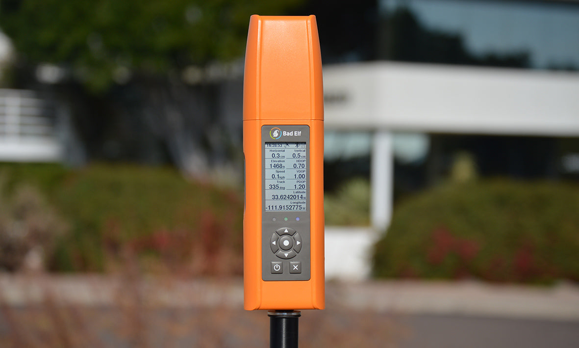
Bad Elf’s GNSS receivers are designed for professionals who need accurate location data without the complexity of traditional survey equipment. Their receivers pair via Bluetooth with Avenza Maps to deliver submeter or even centimeter-level accuracy in real time. For professionals who need to track routes or collect location-based data with confidence, this added accuracy can be a game-changer.
Paired with Avenza Maps’ offline capabilities and easy-to-use tools, it’s a reliable setup for work in challenging environments, whether you're deep in the forest or out on the water. You get consistent, high-quality location data without the need for complex survey equipment.
Meet the Devices:
Bad Elf Flex Mini
- Ultra-portable and rugged
- Submeter accuracy, with RTK option for centimeter precision
- Compatible with iOS, Android, and Windows
- Ideal for: environmental monitoring, trail audits, utility mapping, flood assessments
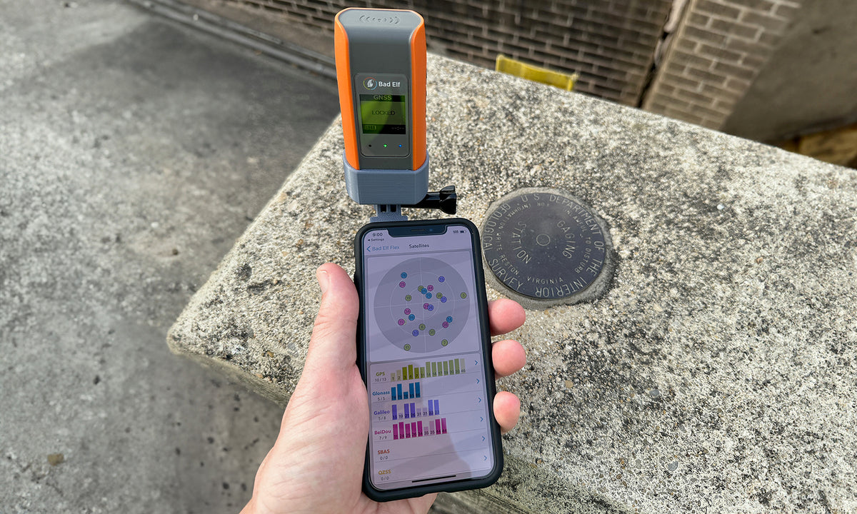
Bad Elf Flex
- Full-size GNSS receiver with professional features
- Sub-meter accuracy or centimeter with RTK
- Supports internal logging, correction options and CAD/GIS workflows
- Ideal for: asset inventory, construction QA, land parcel updates, subsurface utility mapping
A Smart, Affordable Solution
Together, Avenza Maps and Bad Elf GPS offer a powerful combination for organizations that need high-accuracy mapping without the overhead of complex systems or recurring software fees. The setup is simple, the system can work entirely offline, and GPS integration is seamless via Bluetooth. With flexible licensing options and minimal training required, it’s a practical choice for teams in the field.
Ready to Elevate Your Field Mapping Workflow?
No matter if you are performing trail audits in the backcountry or conducting utility inspections in urban environments, Avenza Maps and Bad Elf make a reliable team. Discover how this integration can support your work by visiting Bad Elf’s website and downloading Avenza Maps today. Let’s map smarter, together.
 Scan this QR code to download the Avenza Maps app.