
Avenza Maps Pro + Trimble
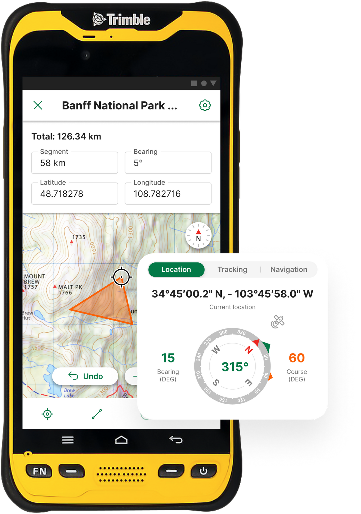
Combining the mapping capabilities of Avenza Maps Pro® with the accuracy of Trimble Geospatial’s high-accuracy GPS devices® allows for better location detection, easier navigation, and more powerful data collection.
Pair Trimble devices with Android or iOS mobile devices running Avenza Maps Pro to get the best of both worlds of highly accurate GPS location and powerful yet easy-to-use mapping and data collection tools.
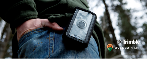
Avenza Maps Pro connects via Bluetooth with a variety of Trimble devices including the R1 and R2 to transmit more accurate GPS locations into the app.

Advantages

Offline Mobile Use
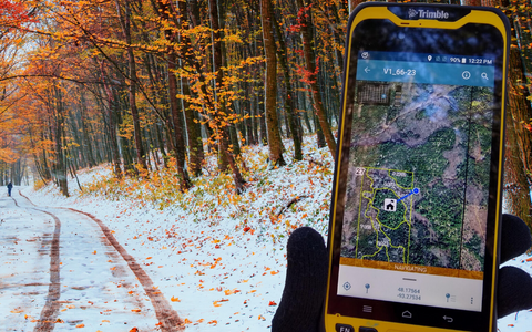
Accurate location in remote places for improved safety and data quality. Locate yourself without a network connection or WiFi, and improve location accuracy by pairing with a Trimble device.
Data Collection and Sharing
Drop and name points, attach photos, and change symbols, and customize your own attribute schema and store it in layers for easy management. Import and export your data to cloud storage locations in a variety of file formats including Shapefile.

Enterprise Features
Manage multiple subscriptions remotely with Enterprise subscription manager and manage your organization’s maps with an in-app map repository accessible with network connectivity.

Mapping Tools
Draw and measure lines and areas, plot photos, create geofences, change coordinate systems, and many more features for working remotely.
Offline Mobile Use
Accurate location in remote places for improved safety and data quality. Locate yourself without a network connection or WiFi, and improve location accuracy by pairing with a Trimble device.
Enterprise Features
Manage multiple subscriptions remotely with Enterprise subscription manager and manage your organization’s maps with an in-app map repository accessible with network connectivity.
Data Collection and Sharing
Drop and name points, attach photos, and change symbols, and customize your own attribute schema and store it in layers for easy management. Import and export your data to cloud storage locations in a variety of file formats including Shapefile.
Mapping Tools
Draw and measure lines and areas, plot photos, create geofences, change coordinate systems, and many more features for working remotely.
Case Study Insights
Achieve better GPS Accuracy in Avenza Maps with Trimble GPS Devices
Avenza has implemented the Trimble Precision SDK (Software Developer Kit) to integrate high-accuracy positioning capability in its Avenza Maps Pro app running on smartphones or tablets using Trimble GNSS receivers. Read more to perceive the benefits of this integration.
Read the case study

Elegant Solutions for Data Sharing and Mobile Mapping at West Virginia DEP
Nick Schaer wears many hats at the West Virginia Department of Environmental Protection (WVDEP). A few years ago, Schaer discovered Avenza Maps Pro, since then, he has used used with a variety of Trimble Devices to transmit more accurate GPS locations into the app. Read more about the benefits he has reaped being a Pro user.
Read the case study

Mobile Mapping and High-Accuracy GPS Devices at Koochiching County Office of Land & Forestry
Danae Schafer, the Assistant Land Commissioner at the Koochiching County Office of Land & Forestry in Minnesota recently tested the combination of Avenza Maps Pro for offline mobile mapping plus the Trimble TDC 600 handheld device for accurate GPS location.
Read the case study
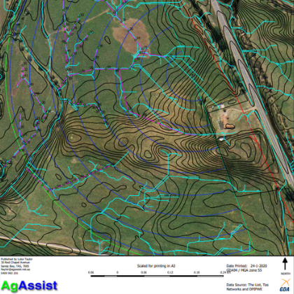
High Accuracy Mapping with Trimble and Avenza Maps provide Improved Agriculture Irrigation Systems
The island of Tasmania, located just off the Southern coast of Australia has become a hot spot for agriculture and especially wine production in the region which is renowned for its cool climate wines. This is where Luke Taylor began his consulting company, AgAssist, after spending more than 25 years working in the farming industry. Taylor advises clients on various aspects of vineyard design and spends a great deal of his time mapping soil types, match varieties to soil types and generating block designs. He uses a combination of Trimble Geospatial GNSS devices, GIS software, and the Avenza Maps app to provide clients with a working blueprint of their proposed production areas.
Read the case study
Trimble GNSS Solutions
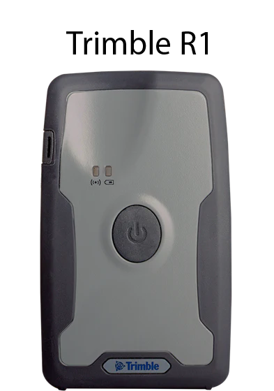
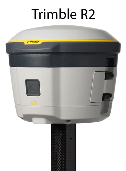
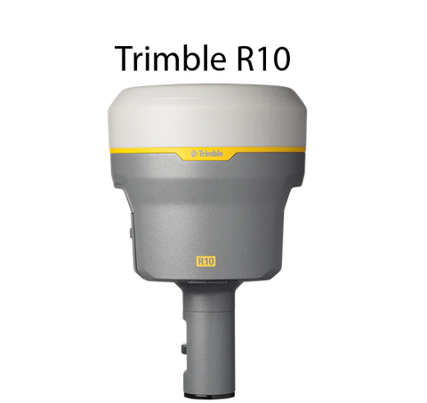
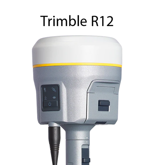
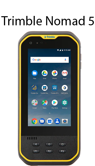
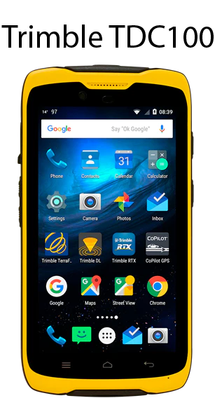
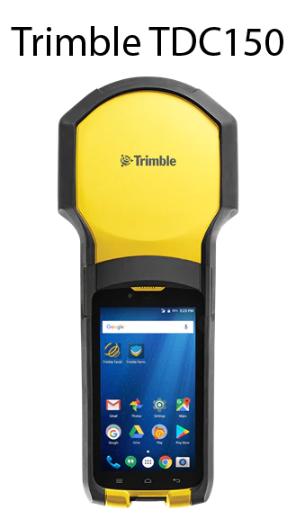
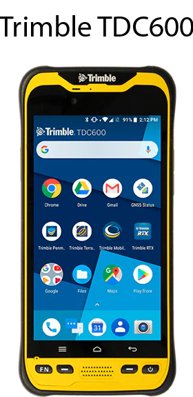
Trimble devices including the R1, R2, R10 and R12 GNSS receivers integrate via Bluetooth® with Avenza Maps Pro on both Android™ and iOS devices. Trimble Catalyst™ integrates via USB on Android devices. The TDC100, TDC150, TDC600, and Trimble Nomad® handhelds can download Avenza Maps from the Google Play Store. The app is available to download from the Apple App Store for iOS devices.