Partnering for Adventure: Fjällräven Classic Sweden

We’re excited to announce our partnership with Fjällräven to support one of the most iconic trekking events in the world: Fjällräven Classic Sweden. With 500 participants registered and the event already sold out, this year’s trek promises to be another unforgettable experience through the heart of the Swedish wilderness. And now, for the first time, Avenza Maps is joining the journey.
A Trek Like No Other
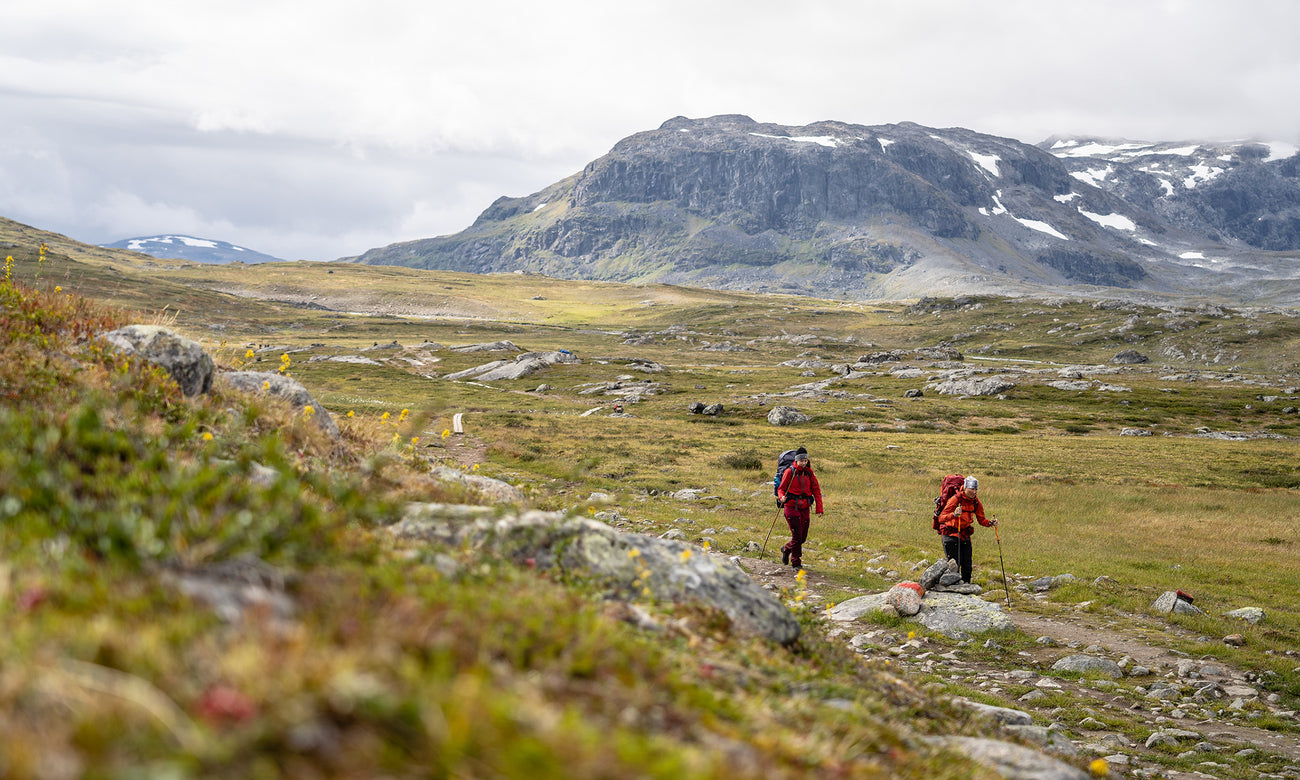
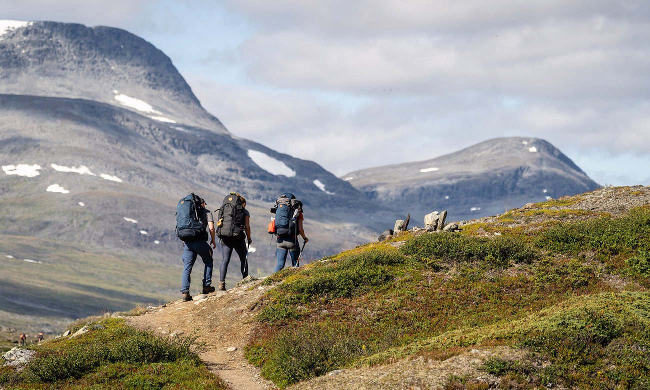
Fjällräven Classic Sweden is a multi-day trek covering roughly 110 km through northern Sweden’s remote mountain landscapes. It's a self-supported hike, meaning participants carry their own gear and camp along the way. The route winds through valleys, across alpine passes, and past rivers and lakes, offering a mix of physical challenge and scenic reward. It’s designed for hikers of varying experience levels who share a respect for nature and a passion for being outdoors.
How Avenza Maps Supports the Trek
Navigation is a big part of the Fjällräven Classic Sweden. The route takes hikers through remote terrain where traditional cell service isn’t reliable, so having an offline map is essential. That’s why Fjällräven worked with Avenza Maps to make the official route map available in the Avenza Maps App.
With the Avenza Maps app, participants can:
- Use GPS tracking to follow the route, even without internet or signal
- Access key checkpoints, water sources, elevation data, and recommended camping spots
- Measure distances and track progress along the trail
- Drop pins to mark points of interest or rest spots and add notes directly on the map
Avenza Maps helps hikers stay on track and manage their journey smoothly during a multi-day trek, no extra devices or complicated setup required. Everything’s on your phone and ready to go before you even hit the trail.
Supporting Trekkers Through Collaboration
Fjällräven chose to work with Avenza Maps for Classic Sweden because they understand the importance of giving participants access to reliable navigation in the backcountry. With Avenza Maps, hikers can follow the route offline, mark key locations, and stay on track without needing a signal. It’s a straightforward way to support participants through the more remote stretches of the trek, using a tool that’s already trusted by outdoor professionals around the world. By partnering with Avenza Maps, Fjällräven ensures that trekkers have a practical resource to enhance safety and confidence on the trail. This partnership also reflects a shared commitment to providing thoughtful, user-friendly solutions that make outdoor adventures more accessible and enjoyable.
More Adventures to Come
This is just the beginning. We’re proud to be working with Fjällräven and look forward to supporting more of their trekking events in the near future. Our goal is to continue providing tools that help outdoor communities explore safely and confidently, and together, we’re making every step of the journey easier to navigate and more memorable. Stay tuned, more adventures (and maps) are on the way.
Ready to Hit the Trail?
Download the official Fjällräven Classic Sweden map from the Fjällräven Publisher page on the Avenza Map Store and start your journey with confidence.