

Digital map for use exclusively in the Avenza Maps app
2018 Skagit Topo Alger
Free
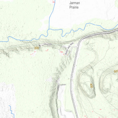
Maps based off the original USGS 7.5 mnute quad maps using latest available data. Full details can be found at: ftp://ftp.skagitcounty.net/GIS/Documents/TopoQuads/2018_Coversheet.pdf
Geographic area:
Category:
Topographic
Size:
36.59MB
Publication:
August 2018
Language:
English
This product is available exclusively in digital format, for use only in the Avenza Maps app.
Map bounds
Check nearby mapsWhat you get with Avenza Maps

Reliable mapping tools
Record GPS tracks, add placemarks, add photos, measure distances, and much more.

Locate yourself with GPS
Avenza Maps offline GPS app on your mobile device can locate you on any map, without WiFi or network connectivity.

The best maps by the best publishers
Download professionally curated digital maps on the Avenza Map Store from the best-renowned publishers.