


Digital map for use exclusively in the Avenza Maps app
1
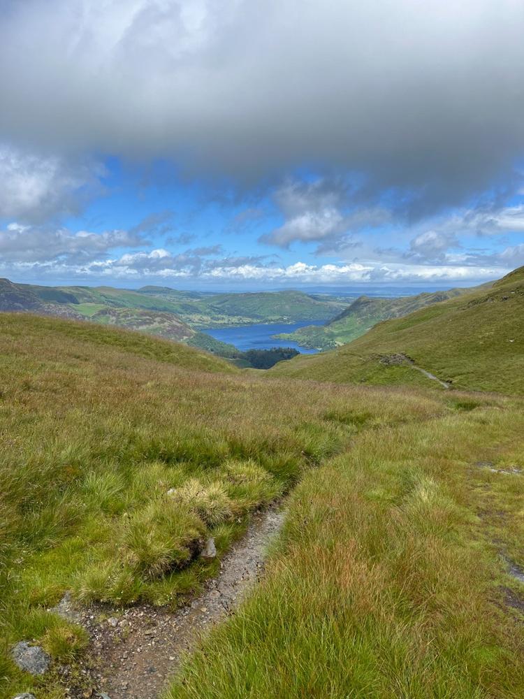
Ambleside and surrounding fells
- Camping
- Cycling
- Hiking
- Horseback Riding
- Orienteering
$9.99 USD
Detailed map for rambling, fell-walking, road cycling, gravel biking, mountain biking, rock climbing, and wild swimming.
Covers the Fairfield Horseshoe and towns of Ambleside, Grasmere and Elterwater. 27 Wainwrights including Fairfield, Red Screes, Loughrigg Fell, Helm Crag and Baystones. Als...
Covers the Fairfield Horseshoe and towns of Ambleside, Grasmere and Elterwater. 27 Wainwrights including Fairfield, Red Screes, Loughrigg Fell, Helm Crag and Baystones. Als...
Geographic area:
Category:
Trails
Size:
16.1MB
Publication:
2024
Language:
English
This product is available exclusively in digital format, for use only in the Avenza Maps app.
Map bounds
Check nearby maps Customer Reviews
5.0 Based on 1 Reviews
Customer Photos
- Reviews
- Questions
Filter Reviews:
- charging point
- Fairfield
- horseshoe
- Ambleside
- tops
- shapes
- paths
- home
A
07/03/2024
Anonymous
I recommend this product
Super clear map for walking
Did the Fairfield horseshoe using the map. It was really clear to see all the paths, and the shapes of the tops you go over. Plus it helped us find an EV charging point in Ambleside to get home!

What you get with Avenza Maps

Reliable mapping tools
Record GPS tracks, add placemarks, add photos, measure distances, and much more.

Locate yourself with GPS
Avenza Maps offline GPS app on your mobile device can locate you on any map, without WiFi or network connectivity.

The best maps by the best publishers
Download professionally curated digital maps on the Avenza Map Store from the best-renowned publishers.