

Digital map for use exclusively in the Avenza Maps app
Bass Lake Navigation Aid map
Madera County Sheriff's Office
- Camping
- Fishing
- Hiking
- Paddling
- Sailing
Free
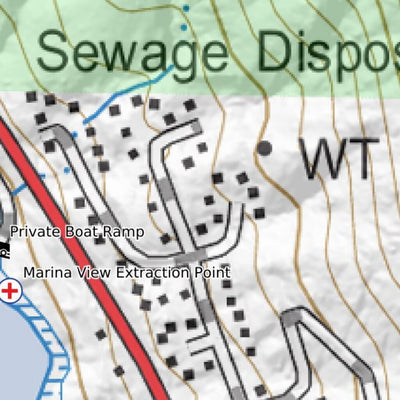
This map shows approximate Aid To Navigation (ATON) locations, as well as some of the lake hazards and the legal direction of travel. Also shown are fuel locations, restricted areas, Personal Watercraft areas, Swim areas, and some of the nearby trails.
The depth of Bass Lake varies throughout...
The depth of Bass Lake varies throughout...
Category:
Nautical
Size:
261.68MB
Publication:
April 2025
Language:
English
This product is available exclusively in digital format, for use only in the Avenza Maps app.
Map bounds
Check nearby mapsWhat you get with Avenza Maps

Reliable mapping tools
Record GPS tracks, add placemarks, add photos, measure distances, and much more.

Locate yourself with GPS
Avenza Maps offline GPS app on your mobile device can locate you on any map, without WiFi or network connectivity.

The best maps by the best publishers
Download professionally curated digital maps on the Avenza Map Store from the best-renowned publishers.