
Digital map for use exclusively in the Avenza Maps app
1
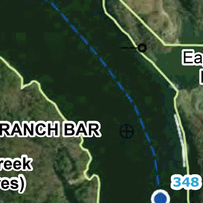
Black Warrior-Tombigbee River Navigation Chart 44 (Mile 345.0 - 352.5)
Free
Download for FREE georeferenced PDF files of current river charts beginning in Mobile, Alabama, continuing through Jackson, Demopolis, Tuscaloosa, and to the heads of navigation on the Locust and Mulberry Forks. The charts were prepared from Inland Electronic Navigation Chart (IENC) data, supplem...
Geographic area:
Category:
Nautical
Size:
27.15MB
Publication:
April 2020
Language:
English
This product is available exclusively in digital format, for use only in the Avenza Maps app.
Map bounds
Check nearby maps Customer Reviews
5.0 Based on 1 Reviews
Write a Review Ask a Question - Reviews
- Questions
Filter Reviews:
04/03/2022
Anonymous
I recommend this product
The Black Warrior River
Very good and detailed. I was looking for areas to fish. What more do you need
What you get with Avenza Maps

Reliable mapping tools
Record GPS tracks, add placemarks, add photos, measure distances, and much more.

Locate yourself with GPS
Avenza Maps offline GPS app on your mobile device can locate you on any map, without WiFi or network connectivity.

The best maps by the best publishers
Download professionally curated digital maps on the Avenza Map Store from the best-renowned publishers.