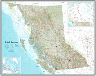


British Columbia Topographic Map
This product is available exclusively in digital format, for use only in the Avenza Maps app.
Map bounds
Check nearby maps- Reviews
- Questions
- tracking option
- site
- borehole locations
- Geotech
- airplane
- elevation
- internet
- everything
- speed
- engineers
Want to export map
It’s a good map with everything you need, but you can’t export it to people which is very frustrating
Great
Great
Best App I know!
Best app ever for Geotech engineers if they are looking for borehole locations on-site without internet. The tracking option is very useful too. Don't forget to use it when you are on an airplane. you can track speed, elevation, and everything. Very exciting app!
What you get with Avenza Maps

Reliable mapping tools
Record GPS tracks, add placemarks, add photos, measure distances, and much more.

Locate yourself with GPS
Avenza Maps offline GPS app on your mobile device can locate you on any map, without WiFi or network connectivity.

The best maps by the best publishers
Download professionally curated digital maps on the Avenza Map Store from the best-renowned publishers.