Digital map for use exclusively in the Avenza Maps app
1
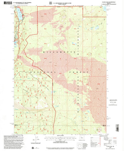
Clear Lake, OR (1997, 24000-Scale)
United States Geological Survey
Free
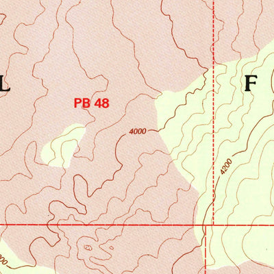
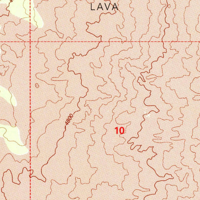
A 1997 historical topographic map of Clear Lake in Oregon produced by the United States Geological Survey (USGS). It shows contour lines, place names, water bodies and roads. Map services and data available from U.S. Geological Survey, National Geospatial Program. Map was obtained from https://ww...
Geographic area:
Category:
Historical
Size:
30.74MB
Publication:
1997
Language:
English
This product is available exclusively in digital format, for use only in the Avenza Maps app.
Map bounds
Check nearby maps Customer Reviews
5.0 Based on 1 Reviews
Write a Review Ask a Question - Reviews
- Questions
Filter Reviews:
RC
05/28/2021
Richard C.
Clinton, New York, United States
Clear Lake historic 7.5 min quad
I have used this map with Avenza to record sample locations in the field, the process is user-friendly.
What you get with Avenza Maps

Reliable mapping tools
Record GPS tracks, add placemarks, add photos, measure distances, and much more.

Locate yourself with GPS
Avenza Maps offline GPS app on your mobile device can locate you on any map, without WiFi or network connectivity.

The best maps by the best publishers
Download professionally curated digital maps on the Avenza Map Store from the best-renowned publishers.