
Digital map for use exclusively in the Avenza Maps app
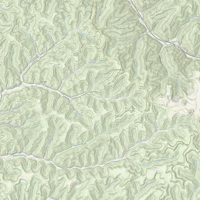
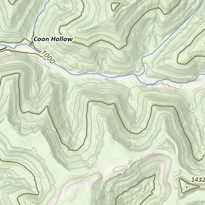
Dawkins Line Rail Trail - Kentucky State Parks Edition
- Camping
- Cycling
- Fishing
- Hiking
Free
This State Park Edition map centers around our beautiful Kentucky State parks and highlights trails, trailheads, and lodges. The maps use Kentucky Topographic Map Series, a Commonwealth-specific cartographic product compiled solely of state and federal geospatial data available in the public doma...
Category:
Topographic
Size:
49.21MB
Publication:
2025
Language:
English
This product is available exclusively in digital format, for use only in the Avenza Maps app.
Map bounds
Check nearby mapsWhat you get with Avenza Maps

Reliable mapping tools
Record GPS tracks, add placemarks, add photos, measure distances, and much more.

Locate yourself with GPS
Avenza Maps offline GPS app on your mobile device can locate you on any map, without WiFi or network connectivity.

The best maps by the best publishers
Download professionally curated digital maps on the Avenza Map Store from the best-renowned publishers.