


Eagle Rock Loop Trail - Ouachita National Forest
- Hiking
- Horseback Riding
This product is available exclusively in digital format, for use only in the Avenza Maps app.
Map bounds
Check nearby maps
- Reviews
- Questions
- people
- kids
- rocks
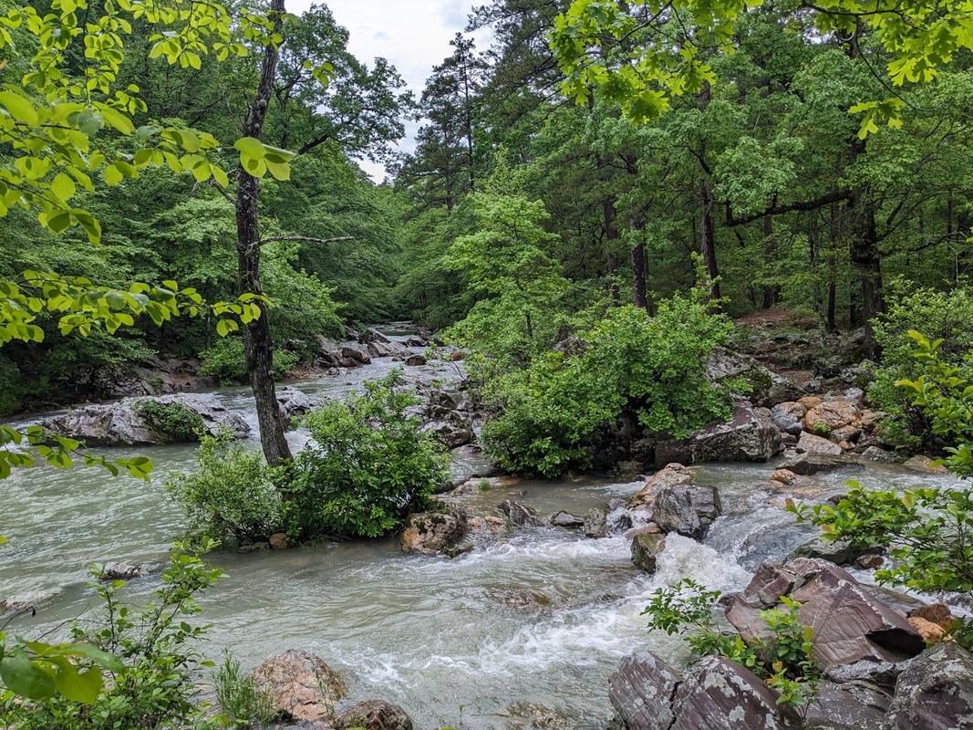
- River crossings
- lots
- some
- shoes
- hiking poles
- occasions
- backpackers
Useful tool
Used this map while hiking the trail and it was extremely nice to be able to see exactly where I was along the trail with the gps tracking.
Eagle Rock Loop
This map was perfect! This trail is fairly well marked, but having a map showing our location was such a reassuring feeling to us since we were new to the area. It showed us all the water crossings and allowed us to make the smart decision to not continue based on all the rain we got the first night.
Fun but tough!
We took our 13 and 14-year old kids and they loved it. The trail was pretty much what everyone says it is, steep at times and lots of water crossings. It is mostly well-marked and well-maintained. Sure wish we had time to help place a few more big rocks to help with some of the smaller river crossings so people don't have to jump and gamble so much. Ended up with wet shoes on several occasions. I wouldn't do this one without hiking poles, that's for sure. But it is a good trail for seasoned backpackers.
What you get with Avenza Maps

Reliable mapping tools
Record GPS tracks, add placemarks, add photos, measure distances, and much more.

Locate yourself with GPS
Avenza Maps offline GPS app on your mobile device can locate you on any map, without WiFi or network connectivity.

The best maps by the best publishers
Download professionally curated digital maps on the Avenza Map Store from the best-renowned publishers.