

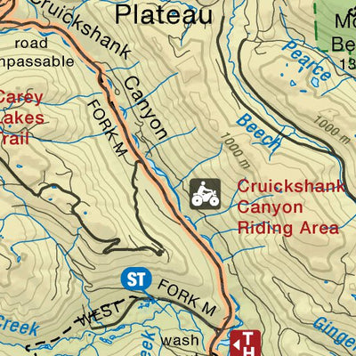
Forbidden Plateau Strathcona Park Recreation Map
- Camping
- Cycling
- Fishing
- Hiking
- Hunting
This product is available exclusively in digital format, for use only in the Avenza Maps app.
Map bounds
Check nearby maps- Reviews
- Questions
Great Hike!
We did this as a 3-day. Hike about 12K into Circlet Lake (3 hours). There are only raised wooden tent pads here, so a freestanding tent is best. The lake is beautiful and there are toilets and bear boxes. We used this as a base camp and then set off the next day with small packs up to Mt. Albert Edwards. This was about 15K return (7 hours). The terrain up to the ridge is tough and some people with kids were really struggling. A dip in Circlet Lake was refreshing at the end of the day!
What you get with Avenza Maps

Reliable mapping tools
Record GPS tracks, add placemarks, add photos, measure distances, and much more.

Locate yourself with GPS
Avenza Maps offline GPS app on your mobile device can locate you on any map, without WiFi or network connectivity.

The best maps by the best publishers
Download professionally curated digital maps on the Avenza Map Store from the best-renowned publishers.