
Digital map for use exclusively in the Avenza Maps app
1
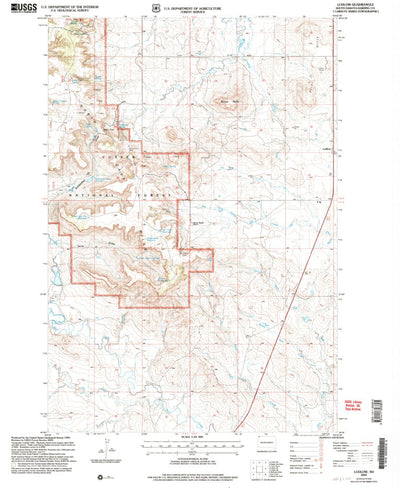
Ludlow, SD (2005, 24000-Scale)
United States Geological Survey
Free
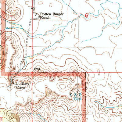
A 2005 historical topographic map of Ludlow in South Dakota produced by the United States Geological Survey (USGS). It shows contour lines, place names, water bodies and roads. Map services and data available from U.S. Geological Survey, National Geospatial Program. Map was obtained from https://...
Category:
Historical
Size:
23.59MB
Publication:
2005
Language:
English
This product is available exclusively in digital format, for use only in the Avenza Maps app.
Map bounds
Check nearby maps Customer Reviews
5.0 Based on 1 Reviews
Write a Review Ask a Question - Reviews
- Questions
Filter Reviews:
MP
05/03/2024
Meggie P.
United States
I recommend this product
Love it!
So easy to download and import, love that I can search for specific coordinates within the map and save them. Very easy to use! 10/10 Only thing I’d like to be able to do is overlay multiple maps and see any changes (like a 1968 map under a 2005)
What you get with Avenza Maps

Reliable mapping tools
Record GPS tracks, add placemarks, add photos, measure distances, and much more.

Locate yourself with GPS
Avenza Maps offline GPS app on your mobile device can locate you on any map, without WiFi or network connectivity.

The best maps by the best publishers
Download professionally curated digital maps on the Avenza Map Store from the best-renowned publishers.