Digital map for use exclusively in the Avenza Maps app
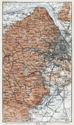
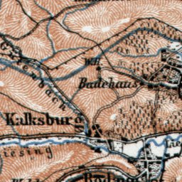
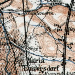
Map of the west environs of Vienna (Wien) from Klosterneuburg to Baden, 1910
$1.99 USD
Historical map of Western vicinity of Vienna (Wien) from Klosterneuburg to Baden, 1910, in Austria, by Wagner & Debes, at the scale of 1:180,000. Digitally restored. A part of the Discus Media 1900 Collection.
Looking for a valuable and original gift? Buy this map print on high quality poste...
Looking for a valuable and original gift? Buy this map print on high quality poste...
Category:
Historical
Size:
5.87MB
Publication:
1910
Language:
German
This product is available exclusively in digital format, for use only in the Avenza Maps app.
Map bounds
Check nearby mapsWhat you get with Avenza Maps

Reliable mapping tools
Record GPS tracks, add placemarks, add photos, measure distances, and much more.

Locate yourself with GPS
Avenza Maps offline GPS app on your mobile device can locate you on any map, without WiFi or network connectivity.

The best maps by the best publishers
Download professionally curated digital maps on the Avenza Map Store from the best-renowned publishers.