


Digital map for use exclusively in the Avenza Maps app
1
Prêt-à-Partir | Boucle du mont Chauve
- Hiking
Free
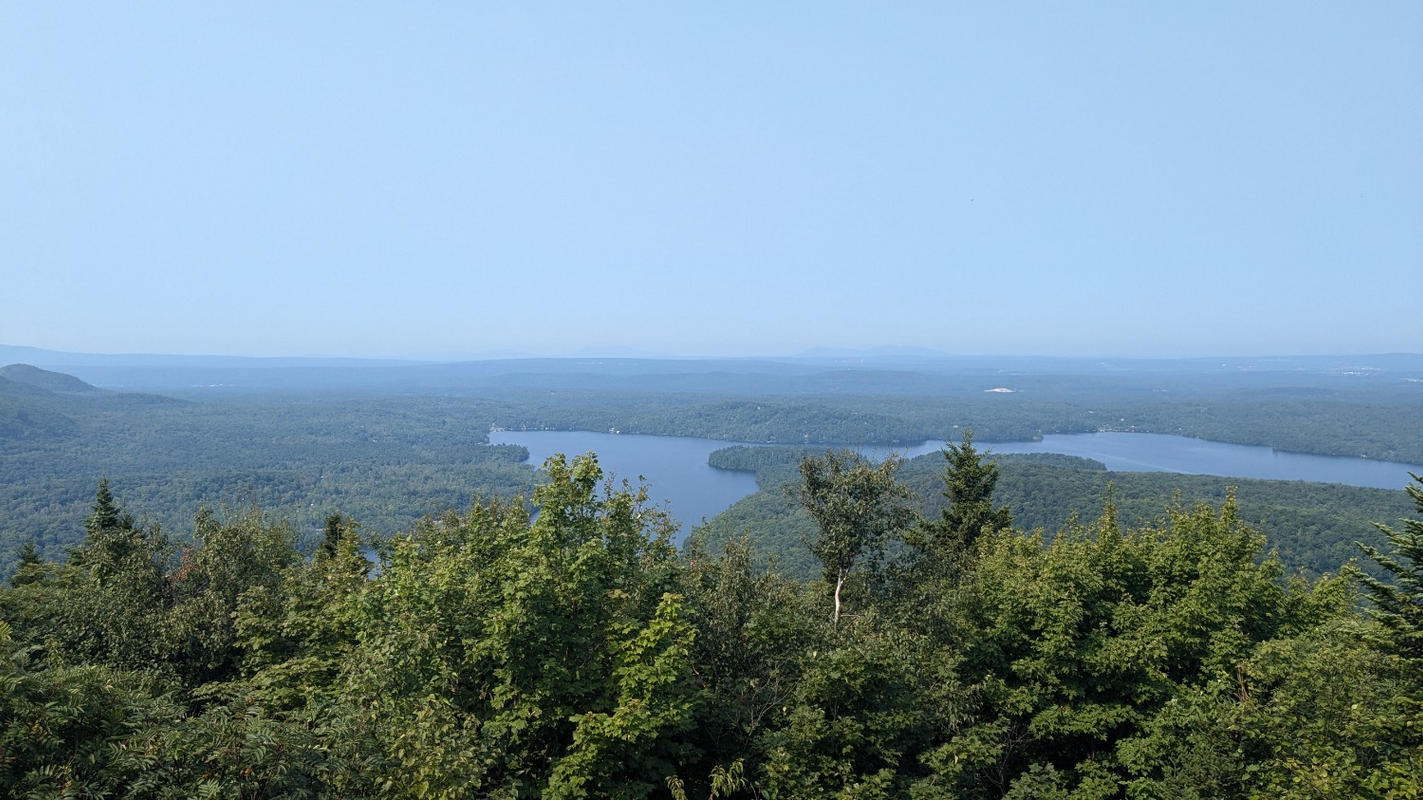
Parcourez cette splendide boucle au parc national du Mont-Orford et accédez au sommet dénudé du mont Chauve qui s’élève à 600 m d’altitude.
De là-haut, vous aurez une vue plongeante sur le lac Stukely. Il s’agit d’une agréable initiation à la randonnée en montagne qu’il est possible de faire ét...
De là-haut, vous aurez une vue plongeante sur le lac Stukely. Il s’agit d’une agréable initiation à la randonnée en montagne qu’il est possible de faire ét...
Geographic area:
Category:
Trails
Size:
1.66MB
Publication:
September 2021
Language:
French
This product is available exclusively in digital format, for use only in the Avenza Maps app.
Map bounds
Check nearby maps Customer Reviews
5.0 Based on 1 Reviews
Customer Photos

- Reviews
- Questions
Filter Reviews:
A
08/21/2024
Anonymous
I recommend this product
Very useful
It saved me a lot of searching around as the trail, in some places, isn't well marked.
What you get with Avenza Maps

Reliable mapping tools
Record GPS tracks, add placemarks, add photos, measure distances, and much more.

Locate yourself with GPS
Avenza Maps offline GPS app on your mobile device can locate you on any map, without WiFi or network connectivity.

The best maps by the best publishers
Download professionally curated digital maps on the Avenza Map Store from the best-renowned publishers.