Digital map for use exclusively in the Avenza Maps app
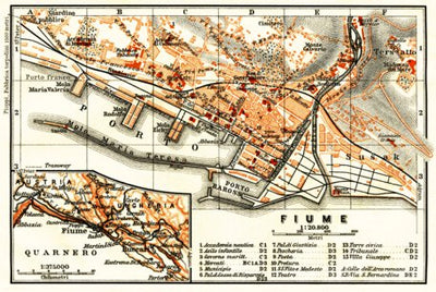
Rijeka (Fiume), town plan. Map of the environs of Rijeka (Fiume), 1913
$1.99 USD
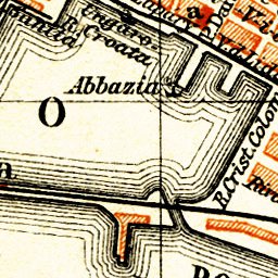
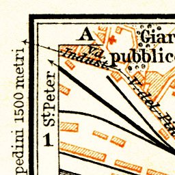
Historical map of Rijeka (Fiume) and vicinity of Rijeka from 1913, in Croatia, then in the Austro-Hungarian Empire, produced by Wagner & Debes, at the scale of 1:20,800. Includes inset(s) at scale(s) of 1:375,000. Digitally restored. A part of the Discus Media 1900 Collection.
Looking for a ...
Looking for a ...
Geographic area:
Category:
Historical
Size:
2.27MB
Publication:
1913
Language:
Italian
This product is available exclusively in digital format, for use only in the Avenza Maps app.
Map bounds
Check nearby mapsWhat you get with Avenza Maps

Reliable mapping tools
Record GPS tracks, add placemarks, add photos, measure distances, and much more.

Locate yourself with GPS
Avenza Maps offline GPS app on your mobile device can locate you on any map, without WiFi or network connectivity.

The best maps by the best publishers
Download professionally curated digital maps on the Avenza Map Store from the best-renowned publishers.