

Digital map for use exclusively in the Avenza Maps app
2
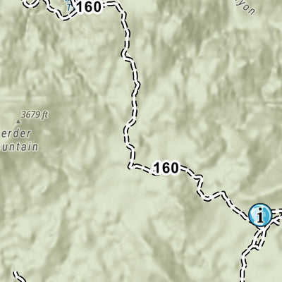
Tonto National Forest - Sycamore Creek and Rolls OHV Areas
- Off-roading
$1.99 USD
This map shows off-highway vehicle accessible roads and trails in the Sycamore Creek and Rolls OHV area of the Tonto National Forest.
Please see descriptions of roads and trails in the legend of the map.
This publication is a pilot project from the Tonto Recreation Alliance (TRAL) non-pro...
Please see descriptions of roads and trails in the legend of the map.
This publication is a pilot project from the Tonto Recreation Alliance (TRAL) non-pro...
Geographic area:
Category:
Trails
Size:
41.68MB
Publication:
November 2021
Language:
English
This product is available exclusively in digital format, for use only in the Avenza Maps app.
Map bounds
Check nearby maps Customer Reviews
5.0 Based on 2 Reviews
Write a Review Ask a Question - Reviews
- Questions
Filter Reviews:
- resource
- position
- maps
02/05/2022
Anonymous
I recommend this product
I love these off-line maps these
These maps are a fantastic resource and accurately display current position, pinned way points etc. No getting lost with these...
C
12/06/2021
Customer
Phoenix, Arizona, United States
Tonto National Forest - Sycamore Creek and Rolls OHV Areas
What you get with Avenza Maps

Reliable mapping tools
Record GPS tracks, add placemarks, add photos, measure distances, and much more.

Locate yourself with GPS
Avenza Maps offline GPS app on your mobile device can locate you on any map, without WiFi or network connectivity.

The best maps by the best publishers
Download professionally curated digital maps on the Avenza Map Store from the best-renowned publishers.