

Digital map for use exclusively in the Avenza Maps app
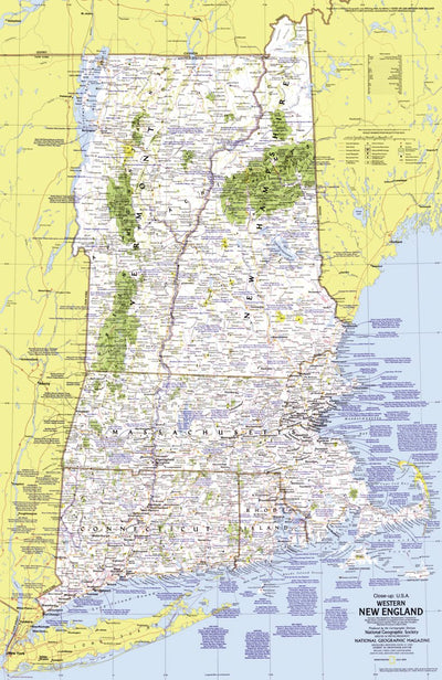
Western New England 1975
$4.99 USD
Part of the "Close-up: U.S.A." series, the Western New England map contains a wealth of notes about the festivals, events, and points of interest one can visit in this historic and scenic region. Published in July 1975 with a companion travel poster entitled "New Hampshire, Vermont, Massachusetts...
Geographic area:
Category:
Educational
Size:
52.9MB
Publication:
1975
Language:
English
This product is available exclusively in digital format, for use only in the Avenza Maps app.
Map bounds
Check nearby mapsWhat you get with Avenza Maps

Reliable mapping tools
Record GPS tracks, add placemarks, add photos, measure distances, and much more.

Locate yourself with GPS
Avenza Maps offline GPS app on your mobile device can locate you on any map, without WiFi or network connectivity.

The best maps by the best publishers
Download professionally curated digital maps on the Avenza Map Store from the best-renowned publishers.