

Digital map for use exclusively in the Avenza Maps app
Yoichi-dake Hiking Route (Hokkaido, Japan)
- Hiking
- Skiing
Free
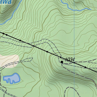
At 1488m, Yoichi-dake 余市岳 is the highest mountain in the vicinity of Sapporo. Its bulky whaleback summit ridge catches a lot of snow in winter and the international ski resort of Kiroro lies on its northern slopes. In summer, though, it is much quieter and you can walk up past the dormant lifts o...
Geographic area:
Category:
Topographic
Size:
4.11MB
Publication:
May 2020
Language:
English, Japanese
This product is available exclusively in digital format, for use only in the Avenza Maps app.
Map bounds
Check nearby mapsWhat you get with Avenza Maps

Reliable mapping tools
Record GPS tracks, add placemarks, add photos, measure distances, and much more.

Locate yourself with GPS
Avenza Maps offline GPS app on your mobile device can locate you on any map, without WiFi or network connectivity.

The best maps by the best publishers
Download professionally curated digital maps on the Avenza Map Store from the best-renowned publishers.