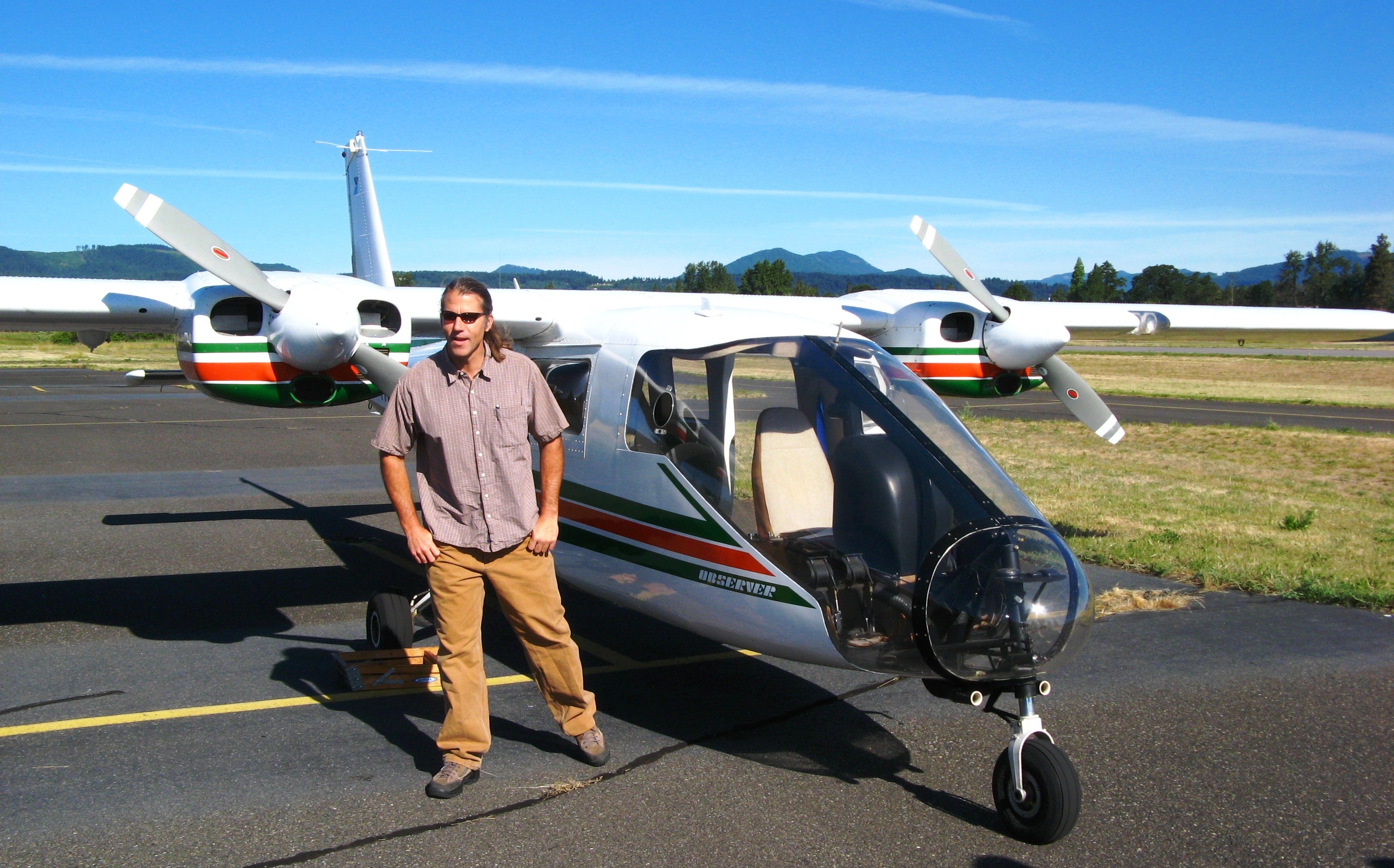
Aerial survey also referred to as aerial sketch mapping, is a remote sensing technique used to observe forest changes from an aircraft and manually document them onto a map. This blog presents multiple maps resulting from collaborative aerial surveys conducted by Forest Health teams from the Oregon Department of Forestry, Washington Department of Natural Resources, and the USDA Forest Service Pacific Northwest Region.
Each map, ranging from 1 to 5 MB in size, is downloadable in PDF format for offline use and printing. Furthermore, these maps are compatible with the Avenza PDF Maps Mobile App, allowing users to engage with them on Apple and Android devices. The app offers features such as location viewing, GPS track recording, placemark addition, and place location search. For comprehensive information, readers are encouraged to explore the full article provided. For further details, explore the complete article here.
