Arnold Rim Trail Success Story
The Arnold Rim Trail, located in Arnold, California, meanders through the Sierra Nevada Mountains in Stanislaus National Forest. Featuring panoramic vistas, sweeping old-growth forests, and diving canyon paths, it is no wonder why this trail is popular for hiking, mountain biking, and horseback riding. TheArnold Rim Trail Association(ARTA) and its all-volunteer crew are the caretakers of this local gem. We spoke with Lauren Scott, a longtime ARTA member, about how they have been using Avenza Maps for years and what their recent deployment of Avenza Maps QR Codes has done for their organization and their visitors.

“The Avenza Maps team provides great support, always responding to our questions and addressing our concerns,” says Lauren.
Since safety is a top priority for ARTA, they started putting Avenza Maps QR codes at their trailheads and on their website. Lauren tells us that “incorporating the Avenza Maps QR code has solved the problem of coming to the trailhead without a map. We have maps available at Forest Service offices and some retail establishments, but using the Avenza Maps QR code will prevent our trail users from getting lost.”
Not only does the team at ARTA manage the trail, but they are also working on expanding the trail as well. “We have monthly volunteer trail work days, the Forest Service is out on the trail cleaning trees, and we’ve received grant money to hire experts to help build and clear the trail,” Lauren shared. “We would like to add additional guided hikes to our current selection. We conduct guided nature hikes and a popular monthly sunset hike around the time of the full moon.”

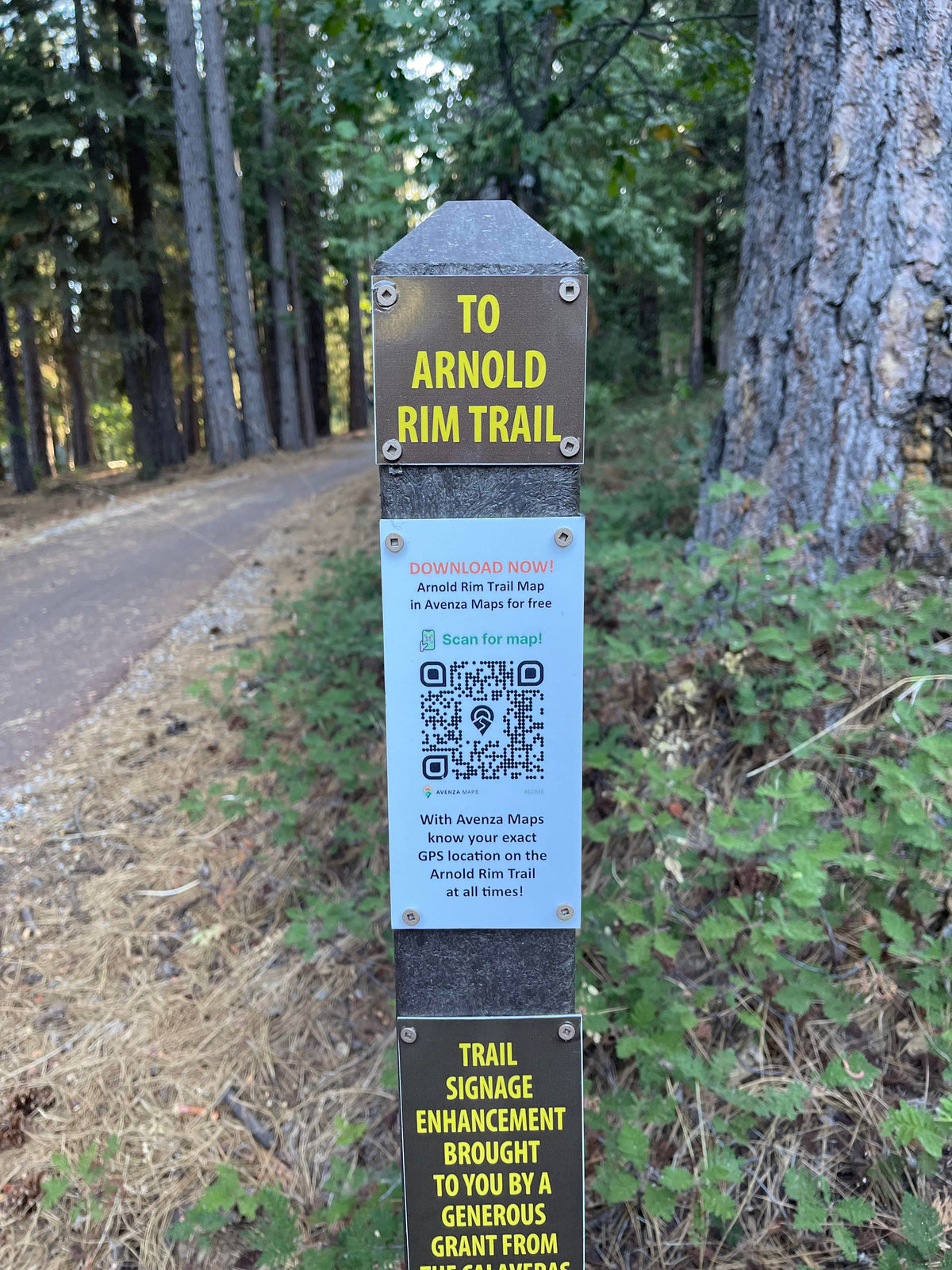
With the early adoption of the QR code, ARTA has seen an increase in trail usage. “The hard work that has gone into making the trail more user-friendly is paying off. The Arnold Rim Trail has actually become an asset to the community, bringing people into using the trail and then taking advantage of other local retailers.” Currently, the team at ARTA is working on a grant to construct a kiosk in the middle of town that would provide details about the Arnold Rim Trail and community information.
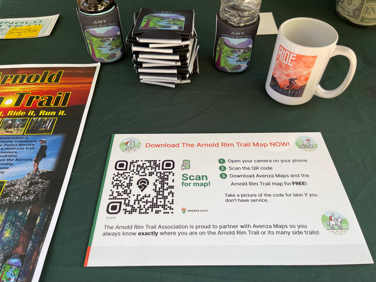
Avenza Maps is proud to partner with the Arnold Rim Trail Association to make it as easy as possible for visitors to access their trail maps. “All feedback we’ve received regarding the QR codes has been positive! Recently we had our booth at a bike event in town and had the QR code available for visitors to download. Everyone who took the opportunity to use the code was thrilled with the possibility it offered.”
We would like to thank the Arnold Rim Trail Association for being one of our early adopters of the QR Code Program. If you are interested in learning more about how Avenza Maps QR codes can benefit your organization, please fill out this form, and we will be in touch.