
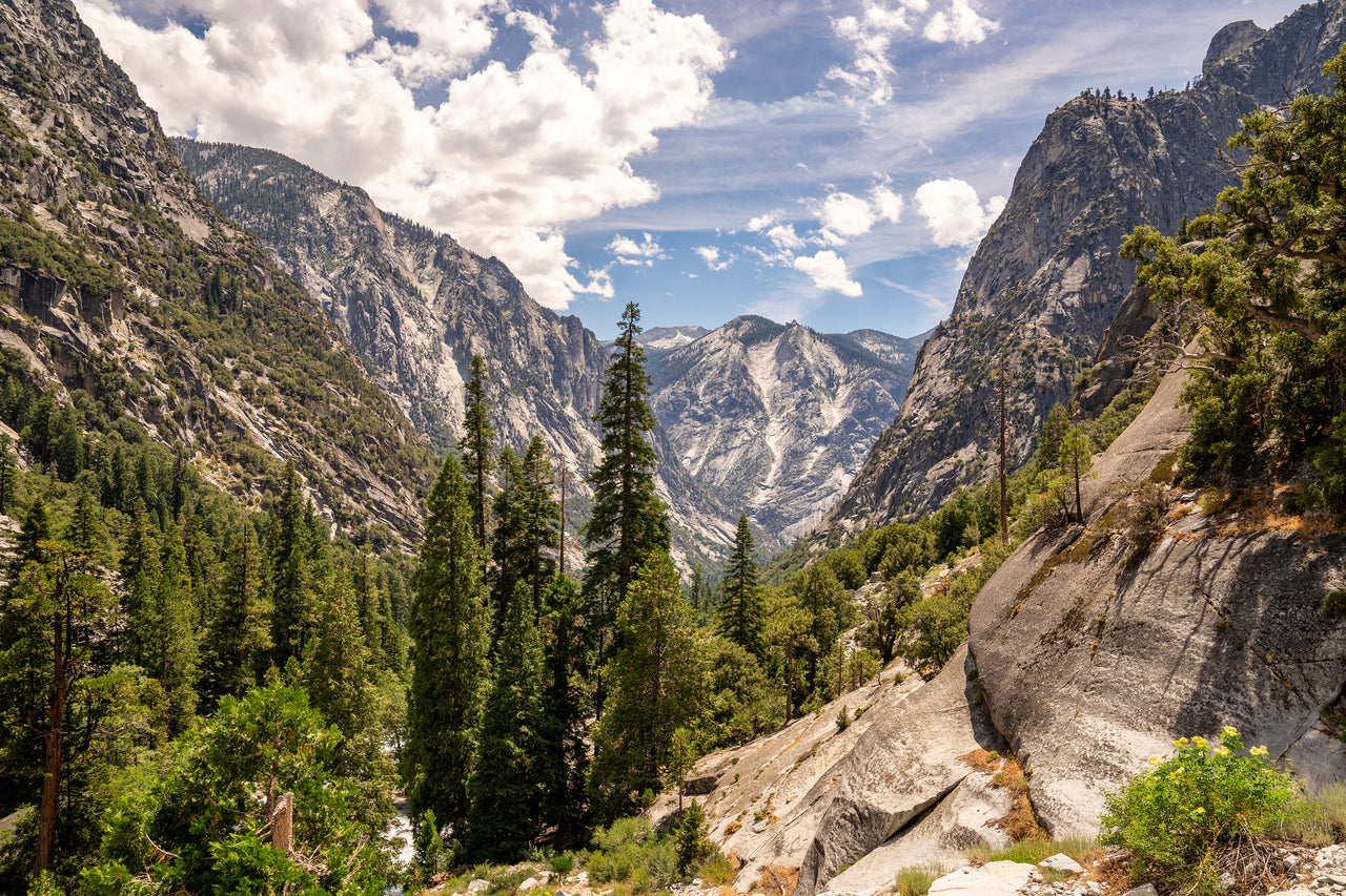
Maps of Kings Canyon National Park
Looking for the best digital maps of Kings Canyon National Park in California? Discover our collection of the top maps for the area, and download them directly to your Avenza Maps app.
Available for Android and iOS, the app uses your device's built-in GPS system to show your position...

Parks & Forests
Sequoia and Kings Canyon National Parks - Driving Map
US National Park Service, July 2016
- Hiking
Free

Trails
John Muir Trail
Tom Harrison Maps, October 2024
- Horseback Riding
- Hiking
- Fishing
- Camping
$9.99 USD

Parks & Forests
CTUC Inyo National Forest South
California Trail Users Coalition, May 2018
- Hiking
Free

Parks & Forests
Kings Canyon High Country
Tom Harrison Maps, October 2018
- Horseback Riding
- Hiking
- Camping
$4.99 USD

Parks & Forests
Mt. Whitney High Country
Tom Harrison Maps, November 2018
- Horseback Riding
- Hiking
- Camping
$4.99 USD

Parks & Forests
Sierra National Forest Visitor Map
US Forest Service R5, 2022
- Hiking
- Camping
- Backroading
$4.99 USD

Topographic
Kearsarge Pass-Rae Lakes Loop
Tom Harrison Maps, November 2018
- Horseback Riding
- Hiking
- Camping
$4.99 USD

Topographic
36118NE Mount Whitney Topo Bundle
BaseImage Publishing, December 2019
- Snowmobiling
- Fishing
- Cycling
- Hunting
- Hiking
$4.99 USD

Topographic
36118NW Mount Whitney Topo Bundle
BaseImage Publishing, December 2019
- Snowmobiling
- Fishing
- Cycling
- Hunting
- Hiking
$4.99 USD
![809 :: Mammoth Lakes, Mono Divide [Inyo and Sierra National Forests]](https://cdn.shopify.com/s/files/1/0441/7850/5884/files/20160217121543TI00000809_0_1000px_320x320.jpg)
Parks & Forests
809 :: Mammoth Lakes, Mono Divide [Inyo and Sierra National Forests]
National Geographic, 2008
- Hiking
- Camping
$14.99 USD

Parks & Forests
Sierra National Forest
Tom Harrison Maps, November 2018
- Horseback Riding
- Hiking
- Fishing
- Camping
$4.99 USD

Parks & Forests
CTUC Inyo National Forest North
California Trail Users Coalition, May 2018
- Off-roading
- Hiking
Free
- 1
- ...