Building Roads and Fighting Fires: Mobile Maps in Action
Steve Rooke Engineering Program Specialist,
Government of British Columbia.
Steve Rooke is an Engineering Program Specialist with the Government of British Columbia. As part of the Engineering and Resource Roads Branch, Rooke and his team use a lot of technology in the field to do their job and make their workflows easier. The team has been using Avenza Maps Pro for the past 5 years to help with general navigation and data collection.
The Engineering and Resource Roads Branch takes part in managing major road projects, bridge inspections, managing forest access roads, and surveying with drones. Staff head out into the field with survey grade GPS devices and smartphones equipped with Avenza Maps Pro to record all of their data.
“We can cover a lot of distance in a day. Map Collections make navigation in the field easy, as we can put all of our maps together into one big collection and swipe through them as we move across the maps,” says Rooke.
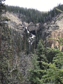
Not only does the team manage major roads, but they also help plan and manage new forest access roads. When heading out into these remote areas the team relies on the ability of the app to maintain offline location awareness to know exactly where they are.
The team uses a combination of their own maps and maps from the Avenza Map Store when out in the field. “The Toporama maps from Natural Resources Canada are helpful to us because they cover all the areas we need and include a good level of detail,” says Rooke.
Avenza Maps Pro is also used by contractors that work with Rooke and his team. “It’s easy to share maps with contractors, and share data as well,” Rooke says. “Using AirDrop, sharing maps and data is seamless between our team and other users.”
Road inspections and rehabilitation units (such as areas recovering from wildfires) are where the team collects most of their data, using a feature called attribute schema. “Attribute schema is a great tool once you get the hang of it, as it allows us to add even more data to the placemarks and line features that we are adding to maps in the app.” “Attribute schema helps improve the quality of the data that we collect by standardizing the options, and ensuring that complete data is being collected for each point.”
Rooke and his team use other software in conjunction with Avenza Maps Pro when out in the field as well. To aid in their road inspections, the team creates data in a specialized road engineering application, the export it as KML or SHP files, which they then easily import into Avenza Maps Pro.
“Having the option to import our own data in a format that is common across our other software is a huge benefit when doing our inspections.” He adds “It’s also nice to be able to toggle the visibility of our data,” says Rooke.
“Being able to add layers to our maps, and then turn off the layers to see other data, or the map itself is a great feature.”
In addition to his day job, Rooke has been deployed to assist BC’s Wildfire Program In that capacity, he finds Avenza Maps Pro useful for tracking guard, and fire perimeters. “The ‘Track-to-Area’ tool is very handy, especially when getting the perimeter and area of wildfires. We record a track around the fire and are easily able to convert it into an area in the app to get the information we need.”
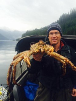
Not only does Rooke use the app for work , he also uses it in his spare time, going hiking, hunting and fishing, He routinely trains his team and other teams around the province on how to use Avenza Maps Pro, and even makes his own YouTube videos on how to use the app.