
Soar with Avenza Maps
Browse our wide range of aeronautical maps
Specialty Flying Maps
At Avenza, we know that nothing can beat the feeling of soaring through the sky and seeing the natural wonders of the world from above.
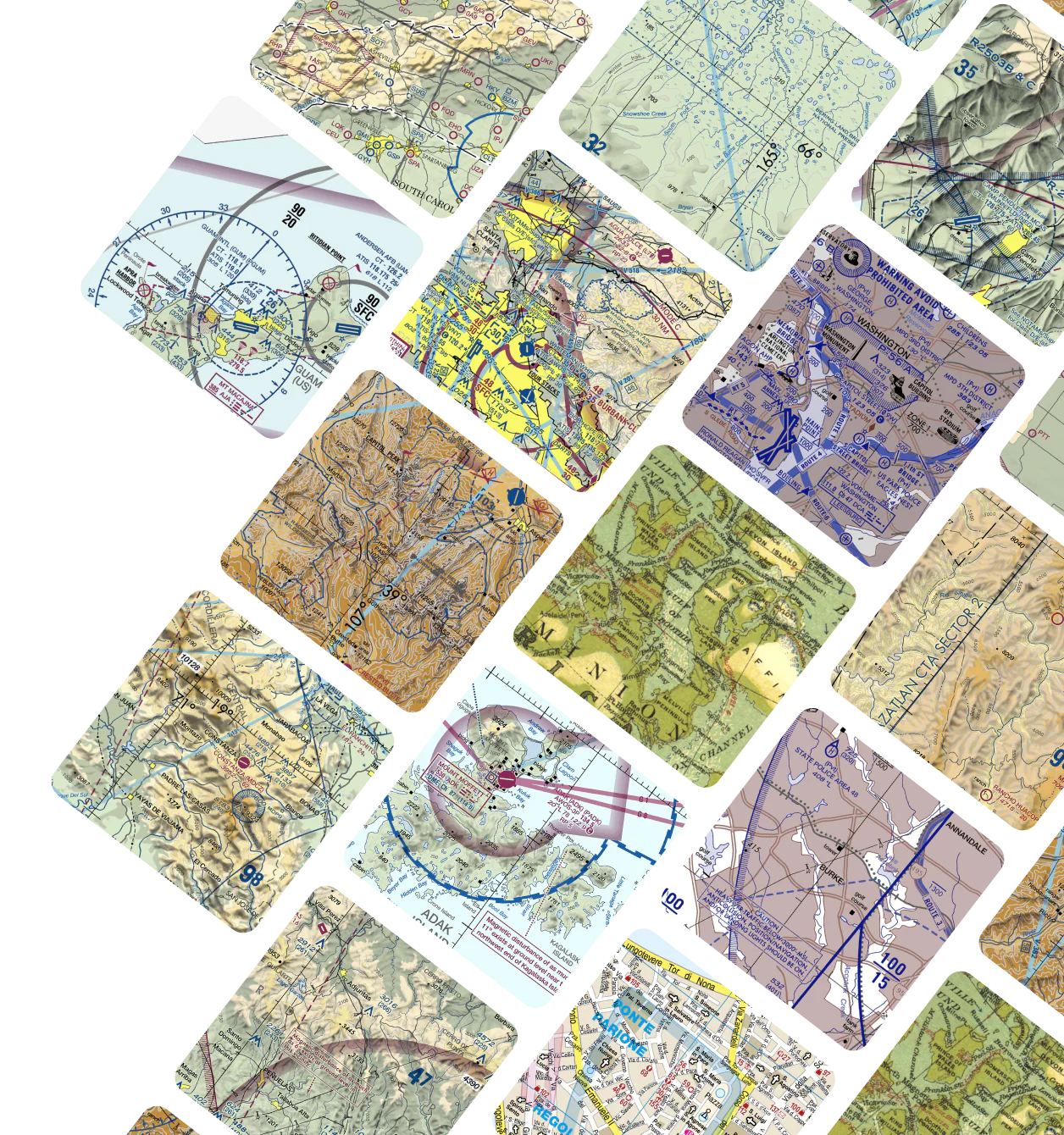
Before jetting off in your plane, be sure to download an aeronautical chart from the Avenza Map Store. You will find a selection of accurately georeferenced aviation charts listed in the store to help you plan your next flight. We offer many flying maps containing useful information like VFR charts (visual flight rules), airport data, terrain information, and more.

What We Offer


Download mobile maps and use them offline
Choose from a wide variety of downloadable high-quality geospatial PDF maps from professional publishers to help you plan your flight route ahead of time.
All downloads function fully offline in the Avenza Maps app so that you can use them anywhere, any time.
Whether you’re flying to a Caribbean island or soaring over the countryside, let us help your make the big decisions about your flight path ahead of time.
Take to the sky and arrive at your next destination in style with the help of Avenza.