Avenza Maps Pro. Offline mobile mapping and data collection for professionals
Avenza Maps Pro® is designed for individuals, organizations, governments, and academic institutions around the world that need advanced mobile mapping capabilities in the field.
Discounts for volume orders.

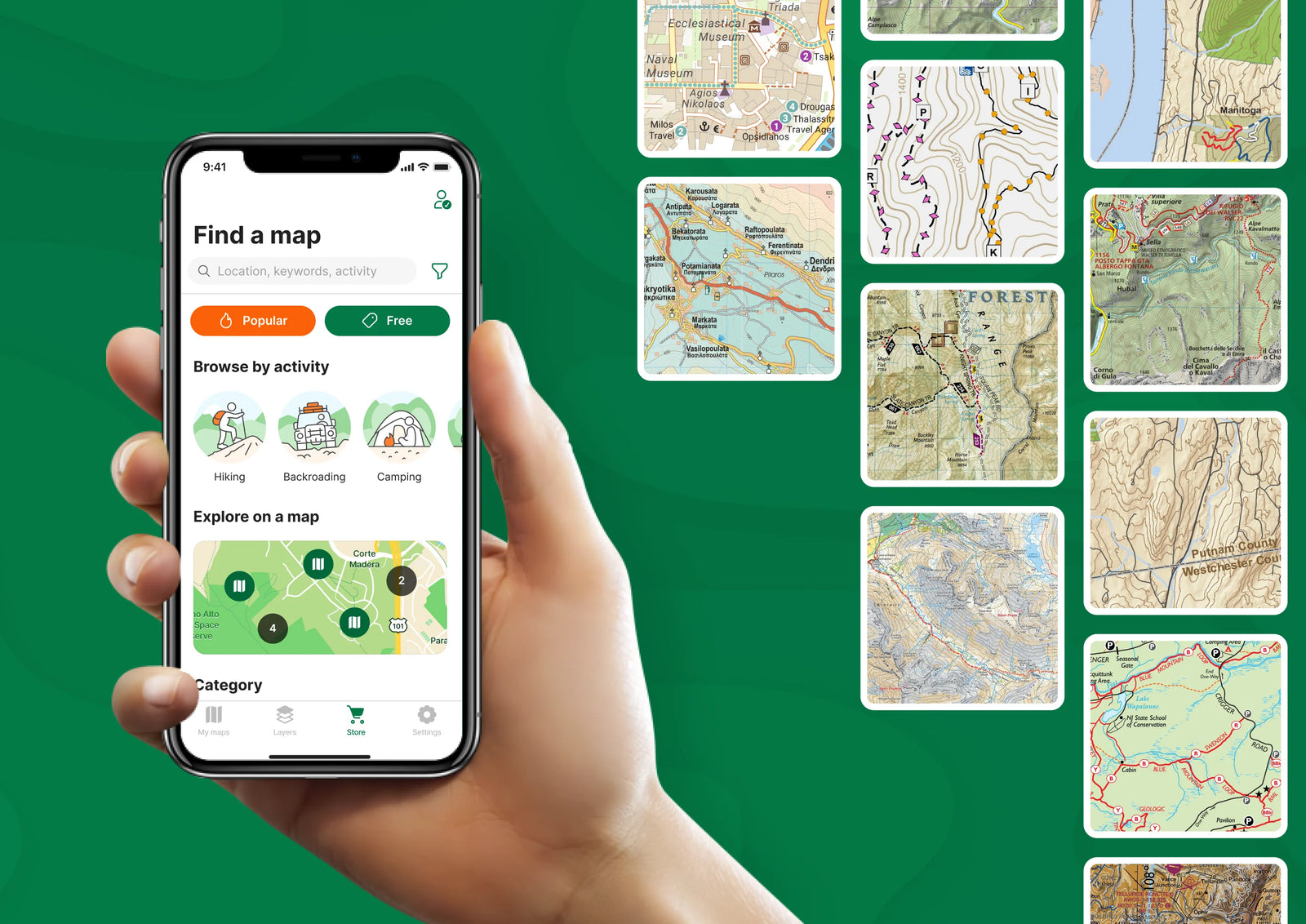

A mobile solution for offline maps
Equip teams with a reliable offline map app on smartphones and tablets to navigate and collect data in remote areas without internet, network, or satellite connections.
Import unlimited personalized maps
Avenza Maps Pro allows unlimited imports of personalized maps in geospatial PDF, GeoTIFF, GeoPDF®, and JPG (with appropriate reference files). Download your maps over a Wi-Fi or cellular network.
Shapefile and area support
Add shapefiles directly to your map to work with points, lines, and areas. Easily convert your collected GPS Tracks into an area. Use the Draw and Measure tool to create areas and export to shapefile when ready to share.
Collect and share map data
Easily record attributes at any placemark or track. Add custom fields, insert field values, modify location, change color, and add notes and geotagged photos. Import and manage custom symbol sets to use with your maps and set default symbols to be used on layers while collecting data. Export and share data with your teams and ensure everyone has the most up-to-date information anytime they need it.

More Avenza Maps Pro features
Use digital maps from virtually any source
Distribute maps faster and more efficiently
Simple yet powerful data collection
Train and educate with real world tools
Collect and manage data
Advanced map tools
Subscription manager
Enhanced technical support

Industries
Avenza Maps improves efficiency and productivity across your organization, no matter what your industry is. Take advantage of our flexible and affordable solution to help your organization make the most out of your mobile maps on the Avenza Maps platform.
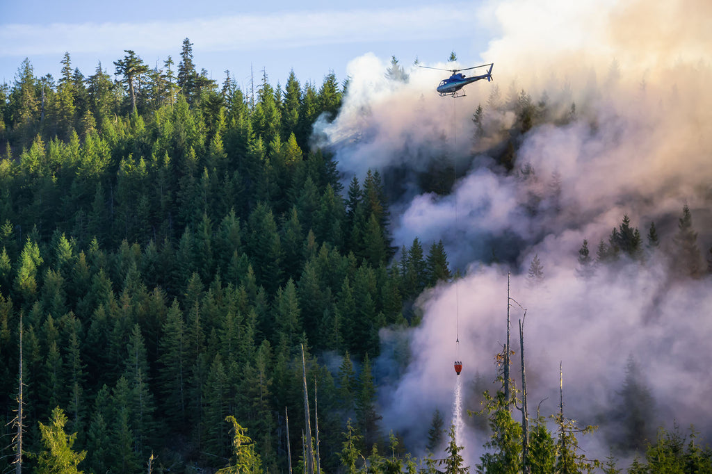
Firefighting

Forestry

Mining, Oil & Exploration

Conservation & Recreation

Non-Profit Organizations

Government

Utilities & Renewable Energy

Education
Contact our Sales team to get started
Fill out the form and our Sales team will be in touch.
“Avenza Maps has been the go-to app for field visits in mining and AML for the West Virginia Department of Environmental Protection for over 10 years. It's easy to use, easy to get maps, and works in places here in WV where even phone service doesn't.”
- Kelli Williams, GIS Analyst, West Virginia Department of Environmental Protection
"One of the essential apps in wildland firefighting. Avenza is the go-to tool for simply sharing incident maps with the greater audience of incoming firefighters who just need simple situational awareness. Maps are easily distributed via QR code, and the end user can easily find and download the daily updates. It nicely compliments our suite of mapping applications.
We also share our library of wildland preplan maps via the Avenza Map Store so that incoming mutual-aid firefighters can download them on the way, even before an incident map has been generated."
- Steve Kennedy, Senior GIS Specialist, Ventura County Fire Department
“I have used Avenza both in the public and private sectors, managing national forests and private ranches for conservation. I regularly use Avenza to navigate in the wilderness and previously while on wildland fires, to map resources that needed protection or suppression repair. I pre-load historic topographic maps to check out what features were mapped in the past, while adding my own notes, photos, and icons for new discoveries. Sharing pdfs of maps I’ve made with partners is exceptionally easy with Avenza because it’s a more commonly used app and format rather than field maps, and has a lower learning curve.”
- Land Stewardship Project Associate