Sustainable Land Management Begins With the Right Foundation

Hanna Gamble, Tree Farmer
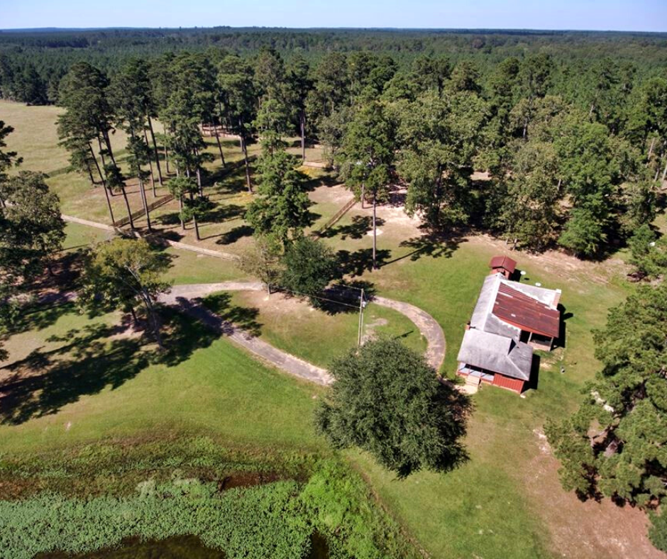
Hanna Gamble is not your typical tree farmer—she was born to be one. Her grandfather Jack Gamble, Sr., acquired 160 acres of northwest Louisiana land in 1939 to start the Gamble Family Tree farm—now known as St. Lucia Plantation. When her father, Jack Gamble, Jr., grew the acreage of the farm to more than 1800 acres, he realized that he needed a proper land management plan to maintain it and make it last for generations. When Gamble was only nine years old, Jack Jr. presented her with a lifetime membership to the Louisiana Forestry Association (LFA) to prepare her for an education in forest management. Through the years, Jack Jr. guided Gamble to assist in reforestation initiatives, planting pines, timber harvesting, stand improvement, and tree maintenance.
In 2010, due to her father’s declining health, Gamble was tasked with taking over the family tree farm. Using her business background, she devised a management plan with the help of forestry consultant, Muslow Forestry. The plan included reclaiming forest trails to survey access, mapping timber stands, identifying wildlife habitats, and using new GIS technologies to map the land. Although Jack Jr. passed away in 2013, Gamble has since continued the family land stewardship legacy and is actively maintaining the land co-owned by her mother, Carol. In 2015, they both acquired a 174.6-acre parcel of land and developed it into Eightfold Farms, a place where they could train horses, teach riding lessons, and invite community partners to visit and learn about agriculture. In 2017, Gamble was awarded the Louisiana Outstanding Tree Farmer of the Year award by the LFA.
To help with location awareness and navigating the property, Gamble was introduced to Avenza Maps Pro as a mobile solution for land management. She soon learned that it did much more. Using acquired imagery and basemap data she taught her team how to use the app, at both farms, for day-to-day management operations including plotting geotagged photos of problem areas, navigating through different stands to locate where specific trees were planted, collecting tree maintenance information, and identifying trespass access points along adjacent properties. Gamble adds that “Avenza Maps Pro gives me confidence that my employees will have the tools necessary to navigate my properties independently. It finally feels like I don't have to be everywhere at once!”

"Avenza Maps Pro gives me confidence that my employees will have the tools necessary to navigate my properties independently. It finally feels like I don't have to be everywhere at once!"
Gamble relies on her forestry and security teams to consistently provide updates through information collected in the Avenza Maps Pro. As an environmentalist who is caring for her land, she also monitors activity at adjacent properties that have accessed her farm or released pollutants into the major creek that runs through the plantation. “For a land manager, Avenza Maps Pro is an invaluable tool that increases accessibility and allows for real time data collection,” says Gamble. As a result, she created streamside management zones and her team uses Avenza Maps Pro to continually collect data and monitor for activity.
Hanna and Carol continue to emphasize how important it is to protect the habitat and water quality to create a sustainable relationship that promotes outdoor recreation, including hunting, fishing, hiking and horseback riding.
Most recently, Gamble gave a presentation at the 2020 Louisiana Women in Agriculture conference to teach others about best practices and the use of Avenza Maps Pro in land management and forestry.

Forestry Management

St. Lucia Plantation

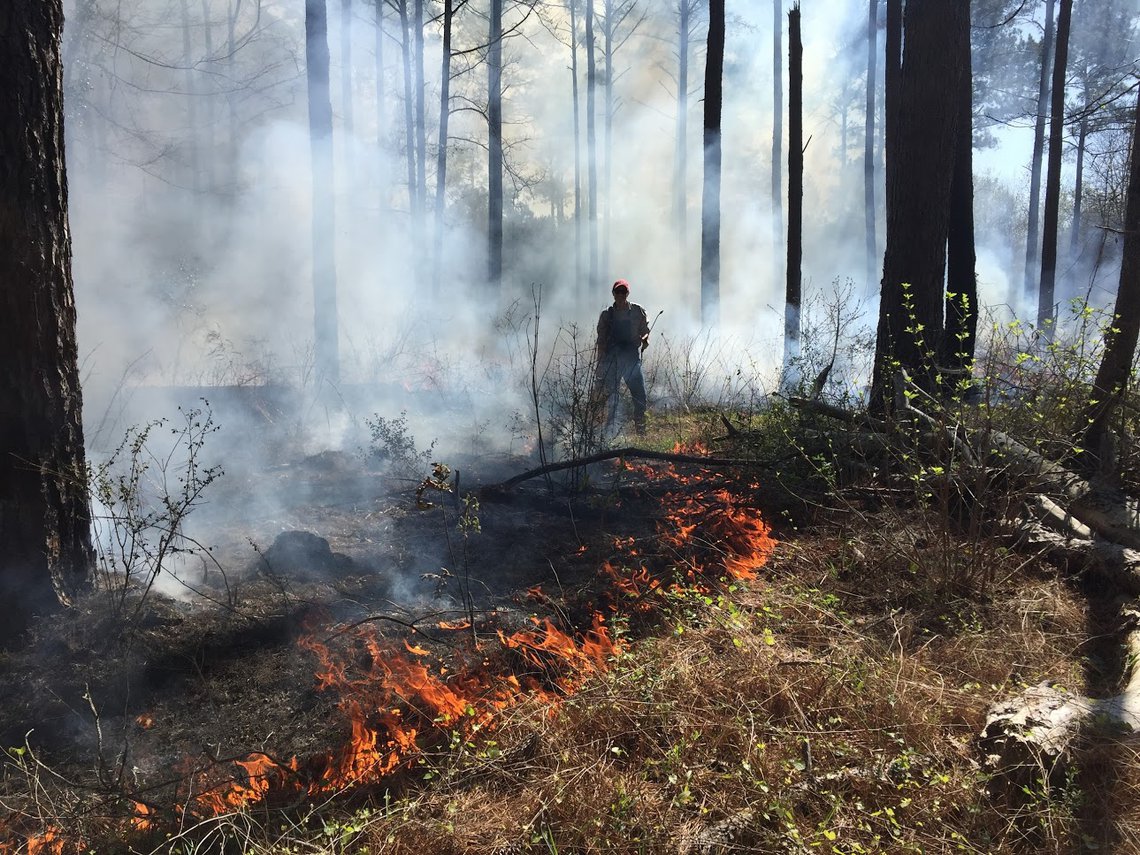
Controlled Burning

"For a land manager, Avenza Maps Pro is an invaluable tool that increases accessibility and allows for real time data collection."
Download Avenza Maps from the App Store and Google Play
