Digital map for use exclusively in the Avenza Maps app
Bundle
2
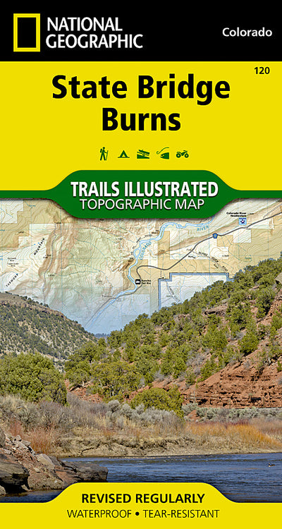
120 :: State Bridge, Burns
- Camping
- Fishing
- Hiking
$14.99 USD
Outdoor enthusiasts seeking to explore the rugged topography of northwestern Colorado will marvel at National Geographic’s Trails Illustrated map of State Bridge and Burns. Created in cooperation with the U.S. Forest Service, Bureau of Land Management and others, this expertly researched map deli...
Geographic area:
Category:
Parks & Forests
Size:
75.98MB
Publication:
2001
Language:
English
This product is available exclusively in digital format, for use only in the Avenza Maps app.
Map bounds
Maps included in this bundle
This bundle contains 2 maps

What you get with Avenza Maps

Reliable mapping tools
Record GPS tracks, add placemarks, add photos, measure distances, and much more.

Locate yourself with GPS
Avenza Maps offline GPS app on your mobile device can locate you on any map, without WiFi or network connectivity.

The best maps by the best publishers
Download professionally curated digital maps on the Avenza Map Store from the best-renowned publishers.