Digital map for use exclusively in the Avenza Maps app
Bundle
2
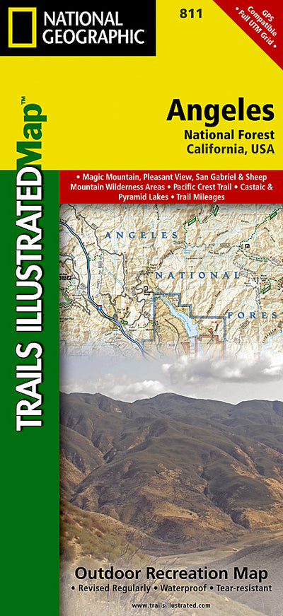
811 :: Angeles National Forest
- Camping
- Cycling
- Fishing
- Hiking
- Skiing
$14.99 USD
National Geographic’s Trails Illustrated map of Angeles National Forest provides both unmatched detail and valuable information for outdoor enthusiasts enjoying this diverse recreational area just north of Los Angeles. Expertly researched and created in partnership with the U.S. Forest Service, ...
Geographic area:
Category:
Parks & Forests
Size:
103.68MB
Publication:
2012
Language:
English
This product is available exclusively in digital format, for use only in the Avenza Maps app.
Map bounds
Maps included in this bundle
This bundle contains 2 maps
Parks & Forests
811 Angeles National Forest (east side)
National Geographic
- Camping
- Cycling
- Fishing
- Hiking
- Paddling

Parks & Forests
811 Angeles National Forest (west side)
National Geographic
- Camping
- Cycling
- Fishing
- Hiking
- Paddling
What you get with Avenza Maps

Reliable mapping tools
Record GPS tracks, add placemarks, add photos, measure distances, and much more.

Locate yourself with GPS
Avenza Maps offline GPS app on your mobile device can locate you on any map, without WiFi or network connectivity.

The best maps by the best publishers
Download professionally curated digital maps on the Avenza Map Store from the best-renowned publishers.