

Digital map for use exclusively in the Avenza Maps app
Worcester Range Hiking Trail Map 1
- Hiking
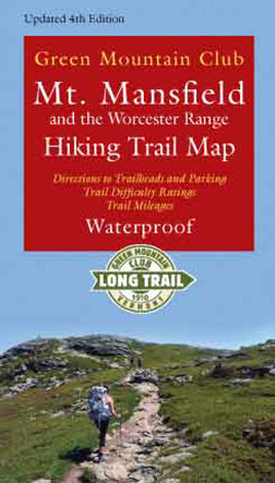
Updated and revised 4th Edition of our full-color waterproof map of the many trails on Mount Mansfield, Vermont’s highest peak. This edition includes the Long Trail relocation through Smugglers Notch. Also included are the hiking trails of the beautiful Worcester Range, including Stowe Pinnacle ...
Geographic area:
Category:
Parks & Forests
Size:
3.72MB
Publication:
July 2017
Language:
English
This product is available exclusively in digital format, for use only in the Avenza Maps app.
Map bounds
Check nearby mapsWhat you get with Avenza Maps

Reliable mapping tools
Record GPS tracks, add placemarks, add photos, measure distances, and much more.

Locate yourself with GPS
Avenza Maps offline GPS app on your mobile device can locate you on any map, without WiFi or network connectivity.

The best maps by the best publishers
Download professionally curated digital maps on the Avenza Map Store from the best-renowned publishers.