Digital map for use exclusively in the Avenza Maps app
Bundle
19
Appalachian Trail, New Hampshire (Bundle)
- Hiking
$34.99 USD
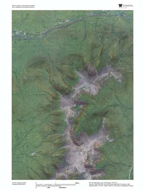
The Appalachian Trail in New Hampshire covers portions of 19 USGS 7.5 minute topo maps. This bundle offers complete coverage of the area including all of the necessary GeoChange maps for a single price. The GeoChange topo-aerial maps are classic 7.5 minute Authoritative US Topos paired with rece...
Geographic area:
Category:
Parks & Forests
Size:
633.59MB
Publication:
November 2016
Language:
English
This product is available exclusively in digital format, for use only in the Avenza Maps app.
Map bounds
Maps included in this bundle
This bundle contains 19 maps


What you get with Avenza Maps

Reliable mapping tools
Record GPS tracks, add placemarks, add photos, measure distances, and much more.

Locate yourself with GPS
Avenza Maps offline GPS app on your mobile device can locate you on any map, without WiFi or network connectivity.

The best maps by the best publishers
Download professionally curated digital maps on the Avenza Map Store from the best-renowned publishers.