

Central Eleuthera Topography Map
- Backroading
- Camping
- Hiking
- Hunting
- Off-roading
$1.99 USD
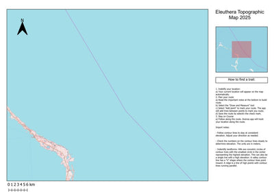
A topographic map of central Eleuthera, Bahamas, displays the region’s elevation changes using contour lines, which represent different heights above sea level. The map captures the island’s narrow, elongated shape, flanked by the Atlantic Ocean to the east and the Exuma Sound to the west.
Inl...
Inl...
Category:
Topographic
Size:
3.39MB
Publication:
March 2025
Language:
English
This product is available exclusively in digital format, for use only in the Avenza Maps app.
Map bounds
Check nearby mapsWhat you get with Avenza Maps

Reliable mapping tools
Record GPS tracks, add placemarks, add photos, measure distances, and much more.

Locate yourself with GPS
Avenza Maps offline GPS app on your mobile device can locate you on any map, without WiFi or network connectivity.

The best maps by the best publishers
Download professionally curated digital maps on the Avenza Map Store from the best-renowned publishers.