Digital map for use exclusively in the Avenza Maps app
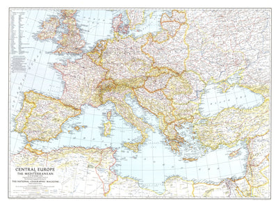
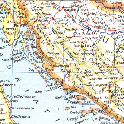
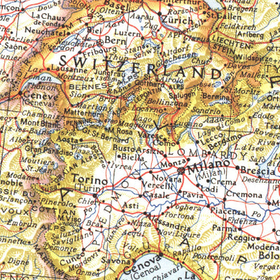
Central Europe And The Mediterranean 1939
$4.99 USD
This map of Central Europe and the Mediterranean shows international boundaries as of September 1, 1939, before Germany invaded Poland. Published in October 1939, this map appeared with the article "War Clouds Over Danzig and Poland's Port." A unique historical map for collectors.
Geographic area:
Category:
Educational
Size:
53.03MB
Publication:
1939
Language:
English
This product is available exclusively in digital format, for use only in the Avenza Maps app.
Map bounds
Check nearby mapsWhat you get with Avenza Maps

Reliable mapping tools
Record GPS tracks, add placemarks, add photos, measure distances, and much more.

Locate yourself with GPS
Avenza Maps offline GPS app on your mobile device can locate you on any map, without WiFi or network connectivity.

The best maps by the best publishers
Download professionally curated digital maps on the Avenza Map Store from the best-renowned publishers.