

Digital map for use exclusively in the Avenza Maps app
Clear Creek County Public Lands
- Hiking
Free
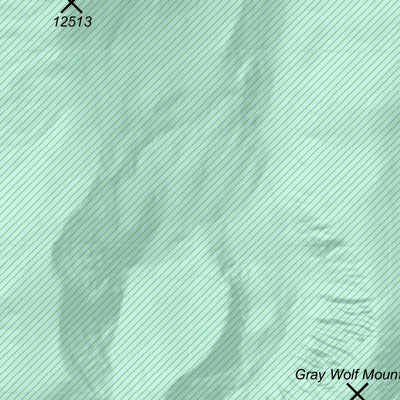
The Clear Creek County Public Lands Map is a general reference map of Clear Creek County, Colorado. This map provides provides information including public lands, roads, municipal boundaries, and mountain peaks.
Geographic area:
Category:
Parks & Forests
Size:
96.79MB
Publication:
January 2025
Language:
English
This product is available exclusively in digital format, for use only in the Avenza Maps app.
Map bounds
Check nearby mapsWhat you get with Avenza Maps

Reliable mapping tools
Record GPS tracks, add placemarks, add photos, measure distances, and much more.

Locate yourself with GPS
Avenza Maps offline GPS app on your mobile device can locate you on any map, without WiFi or network connectivity.

The best maps by the best publishers
Download professionally curated digital maps on the Avenza Map Store from the best-renowned publishers.