

Digital map for use exclusively in the Avenza Maps app
Coups Creek-Thornleigh East-Fox Valley Walk, Wahroonga
- Hiking
Free
Difficulty 4.5 (challenging to very challenging)
Time 4 hr 15 mins | Dist 10 km | Climb 438 m
No dogs allowed. Some creek crossings may be impassable after prolonged or heavy rain.
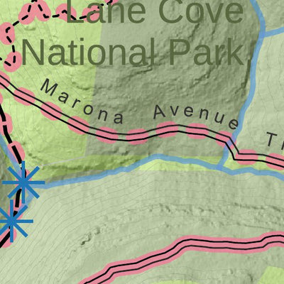
Explore the headwaters of the Lane Cove River. This longer walk links the Coups Creek bushland with sections of...
Time 4 hr 15 mins | Dist 10 km | Climb 438 m
No dogs allowed. Some creek crossings may be impassable after prolonged or heavy rain.
Explore the headwaters of the Lane Cove River. This longer walk links the Coups Creek bushland with sections of...
Geographic area:
Category:
Parks & Forests
Size:
5.23MB
Publication:
November 2021
Language:
English
This product is available exclusively in digital format, for use only in the Avenza Maps app.
Map bounds
Check nearby mapsWhat you get with Avenza Maps

Reliable mapping tools
Record GPS tracks, add placemarks, add photos, measure distances, and much more.

Locate yourself with GPS
Avenza Maps offline GPS app on your mobile device can locate you on any map, without WiFi or network connectivity.

The best maps by the best publishers
Download professionally curated digital maps on the Avenza Map Store from the best-renowned publishers.