Digital map for use exclusively in the Avenza Maps app
Bundle
2
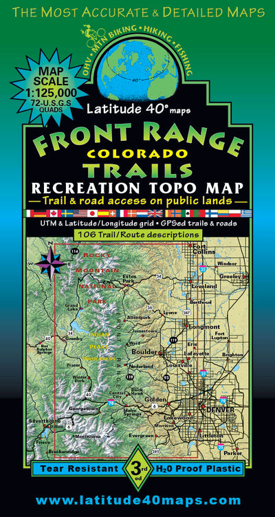
Front Range Colorado Trails Map 3rd Ed.
- Backroading
- Camping
- Cycling
- Hiking
- Off-roading
$14.99 USD
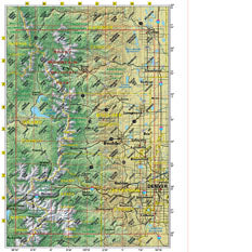
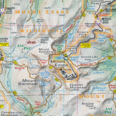
Front Range Colorado covers an area 76 miles north to south and 50 miles east to west, from Ft. Collins to Chatfield Res. and Denver to Silverthorne. A life time of recreation on one map. All trails for all recreational users are highlighted
All trail and road public access is defined by every u...
All trail and road public access is defined by every u...
Geographic area:
Category:
Trails
Size:
71.62MB
Publication:
June 2019
Language:
English
This product is available exclusively in digital format, for use only in the Avenza Maps app.
Map bounds
Maps included in this bundle
This bundle contains 2 maps
Trails
Front Range-BACK 2019-3rd ed-index-2
Latitude 40° maps
- Backroading
- Camping
- Cycling
- Hiking
- Off-roading

Trails
GeoTIFF FR-3rd ed-MAP side-index
Latitude 40° maps
- Backroading
- Camping
- Cycling
- Hiking
- Off-roading
What you get with Avenza Maps

Reliable mapping tools
Record GPS tracks, add placemarks, add photos, measure distances, and much more.

Locate yourself with GPS
Avenza Maps offline GPS app on your mobile device can locate you on any map, without WiFi or network connectivity.

The best maps by the best publishers
Download professionally curated digital maps on the Avenza Map Store from the best-renowned publishers.