

Digital map for use exclusively in the Avenza Maps app
Fushimi-dake Hiking Map (Hokkaido, Japan)
- Hiking
Free
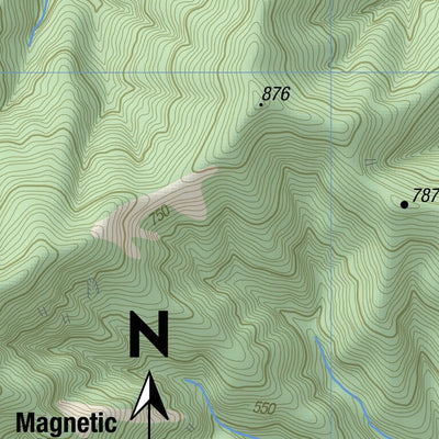
Fushimi-dake 伏美岳 (1792m) lies at the end of an eastern spur of the central Hidaka Range, overlooking the broad agricultural basin of the Tokachi Plain. Formerly easy to access, the 2016 typhoons destroyed the approach road and it now requires a longer walk in to the trailhead and its nearby spart...
Geographic area:
Category:
Parks & Forests
Size:
14.3MB
Publication:
January 2021
Language:
English, Japanese
This product is available exclusively in digital format, for use only in the Avenza Maps app.
Map bounds
Check nearby mapsWhat you get with Avenza Maps

Reliable mapping tools
Record GPS tracks, add placemarks, add photos, measure distances, and much more.

Locate yourself with GPS
Avenza Maps offline GPS app on your mobile device can locate you on any map, without WiFi or network connectivity.

The best maps by the best publishers
Download professionally curated digital maps on the Avenza Map Store from the best-renowned publishers.