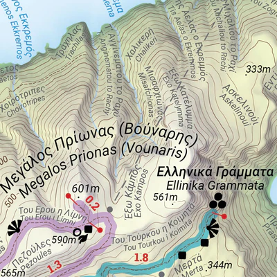


Kasos Trails
- Hiking
Map Edition / Έκδοση Χάρτη: 2022
Map Design / Σχεδίαση Χάρτη:
Staridas Geography #MakingMapsPretty
www.staridasgeography.gr
CC BY-NC-ND 4.0
Copyright 2022 Staridas Geography #MakingMapsPretty | All Rights Reserved
This product is available exclusively in digital format, for use only in the Avenza Maps app.
Map bounds
Check nearby maps- Reviews
- Questions
- trails
- charge
- standard
- Kazos
- number
- Indications
- value
- mapping
- island
- signs
Kasos trails map - a must for hikers
There are a number of trails on Kazos which are marked to a truly professional standard. Mapping is available on paper (free of charge) and digitally (inexpensive) which maps the whole island and the trails - informative and great value.
First time Avenza utilisation
We did 3 trails using the Avenza app even if the signs and indications are very good. The most difficult thing is to find where you need to start from ;-)
What you get with Avenza Maps

Reliable mapping tools
Record GPS tracks, add placemarks, add photos, measure distances, and much more.

Locate yourself with GPS
Avenza Maps offline GPS app on your mobile device can locate you on any map, without WiFi or network connectivity.

The best maps by the best publishers
Download professionally curated digital maps on the Avenza Map Store from the best-renowned publishers.