
Digital map for use exclusively in the Avenza Maps app
ltfc ltay ltbo
- Flying
Free
aviation ltfc_ltay_ltbo
for pilots
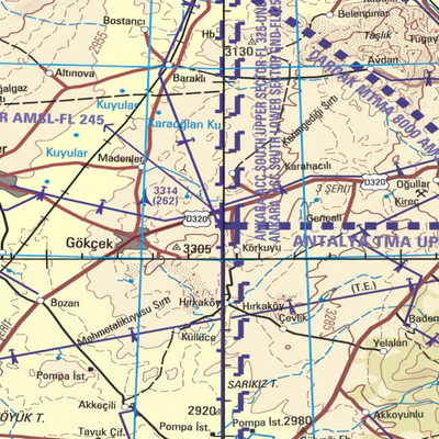
on ltbo , ltfc , ltay airports
terrain height is feet
This map can not be used alone for navigation .
Timeliness of the map must be checked before the flight . The support center will be installed in up -to-date haritasist statement .
nejatyegen@hotmail.c...
for pilots
on ltbo , ltfc , ltay airports
terrain height is feet
This map can not be used alone for navigation .
Timeliness of the map must be checked before the flight . The support center will be installed in up -to-date haritasist statement .
nejatyegen@hotmail.c...
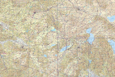
Geographic area:
Category:
Aeronautical
Size:
89.86MB
Publication:
2015
Language:
English
This product is available exclusively in digital format, for use only in the Avenza Maps app.
Map bounds
Check nearby mapsWhat you get with Avenza Maps

Reliable mapping tools
Record GPS tracks, add placemarks, add photos, measure distances, and much more.

Locate yourself with GPS
Avenza Maps offline GPS app on your mobile device can locate you on any map, without WiFi or network connectivity.

The best maps by the best publishers
Download professionally curated digital maps on the Avenza Map Store from the best-renowned publishers.