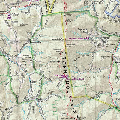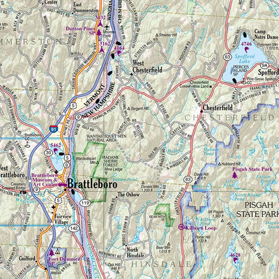


New Hampshire/Vermont Atlas & Gazetteer
- Backroading
- Camping
- Fishing
- Hiking
- Off-roading
Amazingly detailed and beautifully crafted maps for all 50 states
Topographic maps with elevation contours, major highways and roads, dirt roads, trails and land use data
Garmin has made reasonable efforts to provide yo...
This product is available exclusively in digital format, for use only in the Avenza Maps app.
Map bounds
- Reviews
- Questions
Was expecting vector, got raster
Got the 2024 NH/VT atlas. The images are stored as raster bitmaps rather than vectors so zoomed in views are grainy. A pretty big disappointment on that front. Otherwise the maps are nice aesthetically but somewhat lacking in quality of forest roads and trails. OpenSteetMap is quite a bit better in most cases but I wanted an independent source.
What you get with Avenza Maps

Reliable mapping tools
Record GPS tracks, add placemarks, add photos, measure distances, and much more.

Locate yourself with GPS
Avenza Maps offline GPS app on your mobile device can locate you on any map, without WiFi or network connectivity.

The best maps by the best publishers
Download professionally curated digital maps on the Avenza Map Store from the best-renowned publishers.


