Digital map for use exclusively in the Avenza Maps app
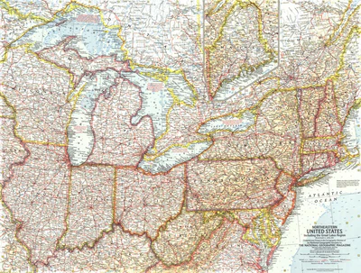
Northeastern United States 1959
$4.99 USD
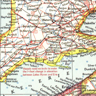
Published in April 1959, this Northeastern United States map includes the Great Lakes region and an inset of northern Maine. Additional details such as auto ferry routes and notes about the Great Lakes water levels, locks, and canals are included. The article "New Era on the Great Lakes" accompan...
Geographic area:
Category:
Educational
Size:
44.23MB
Publication:
1959
Language:
English
This product is available exclusively in digital format, for use only in the Avenza Maps app.
Map bounds
Check nearby mapsWhat you get with Avenza Maps

Reliable mapping tools
Record GPS tracks, add placemarks, add photos, measure distances, and much more.

Locate yourself with GPS
Avenza Maps offline GPS app on your mobile device can locate you on any map, without WiFi or network connectivity.

The best maps by the best publishers
Download professionally curated digital maps on the Avenza Map Store from the best-renowned publishers.