

Digital map for use exclusively in the Avenza Maps app
1
Point Pinole Regional Shoreline
- Camping
- Fishing
Free
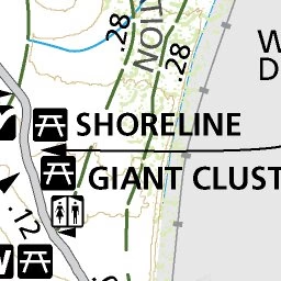
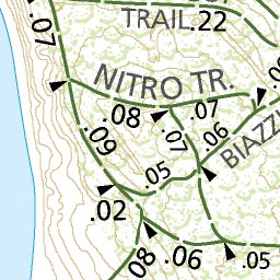
The journey is as scenic as the destination at Point Pinole Regional Shoreline, a 2,315-acre parkland right next to densely populated Pinole, Richmond, and San Pablo. Trails lead through breezy meadows with wildflowers in season, through aromatic eucalyptus woods, or along bluffs and beaches on S...
Geographic area:
Category:
Topographic
Size:
0.93MB
Publication:
October 2019
Language:
English
This product is available exclusively in digital format, for use only in the Avenza Maps app.
Map bounds
Check nearby maps Customer Reviews
5.0 Based on 1 Reviews
Write a Review Ask a Question - Reviews
- Questions
Filter Reviews:
C
06/23/2021
Customer
Berkeley, California, United States
East Bay Parks
Avenza Mapa are by far the best way to check your location and produce a track in the East Bay Parks, because they show all of the official trails along with elevation cont1ours. I only wish Avenza had maps of ALL of the East Bay Regional Parks
What you get with Avenza Maps

Reliable mapping tools
Record GPS tracks, add placemarks, add photos, measure distances, and much more.

Locate yourself with GPS
Avenza Maps offline GPS app on your mobile device can locate you on any map, without WiFi or network connectivity.

The best maps by the best publishers
Download professionally curated digital maps on the Avenza Map Store from the best-renowned publishers.