

Digital map for use exclusively in the Avenza Maps app
Sekison-san 石尊山 Takada-yama 高田山 Hiking Map (Kanto, Japan) 1:12,500
- Hiking
Free
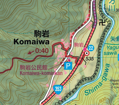
Mt. Sekison (Sekison-san 石尊山 1212m) and Mt. Takada (Takada-yama 高田山 1119m) are two minor peaks situated halfway between Nakanojo station and Shima Onsen, in northern Gunma. Although the hike goes up and down the same route, the spectacular view of Mt. Haruna from the top of Mt. Sekison is well wo...
Geographic area:
Category:
Trails
Size:
9.85MB
Publication:
June 2024
Language:
English, Japanese
This product is available exclusively in digital format, for use only in the Avenza Maps app.
Map bounds
Check nearby mapsWhat you get with Avenza Maps

Reliable mapping tools
Record GPS tracks, add placemarks, add photos, measure distances, and much more.

Locate yourself with GPS
Avenza Maps offline GPS app on your mobile device can locate you on any map, without WiFi or network connectivity.

The best maps by the best publishers
Download professionally curated digital maps on the Avenza Map Store from the best-renowned publishers.