

South Slope, Yellowstone Utah Mule Deer Hunting Unit Map with Land Ownership
- Hunting
$4.99 USD
Mule Deer Hunting Unit Map displaying Unit Boundaries, Land Ownership Status, and CWMU hunting areas. Includes private land, private land within the CWMU program, National Forest, BLM, and Federal Lands with trails and roads.
Geographic area:
Category:
Hunting & Fishing
Size:
58.11MB
Language:
English
This product is available exclusively in digital format, for use only in the Avenza Maps app.
Map bounds
Check nearby mapsYou might also like
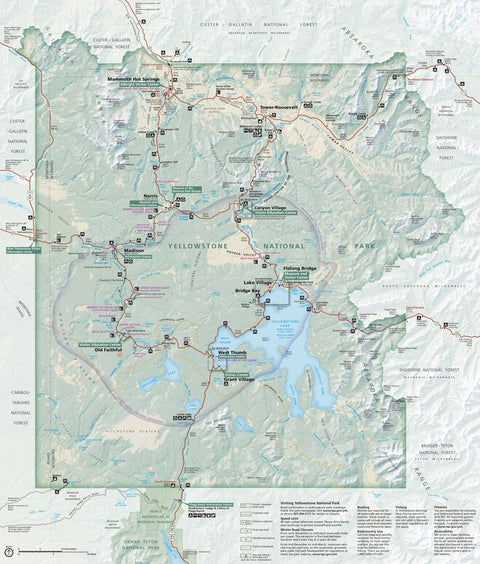
9
Parks & Forests
Yellowstone National Park
US National Park Service · Publication February 2021
- Hiking
Free
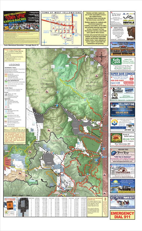
3
Parks & Forests
West Yellowstone Snowmobile Map (North Half)
MontanaGPS · Publication January 2017
- Hiking
- Snowmobiling
Free
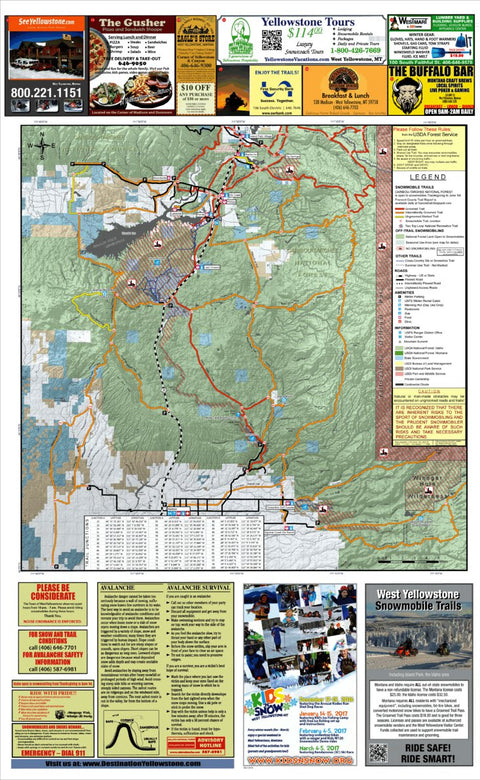
4
Parks & Forests
West Yellowstone Snowmobile Map (South Half)
MontanaGPS · Publication January 2017
- Hiking
- Snowmobiling
Free
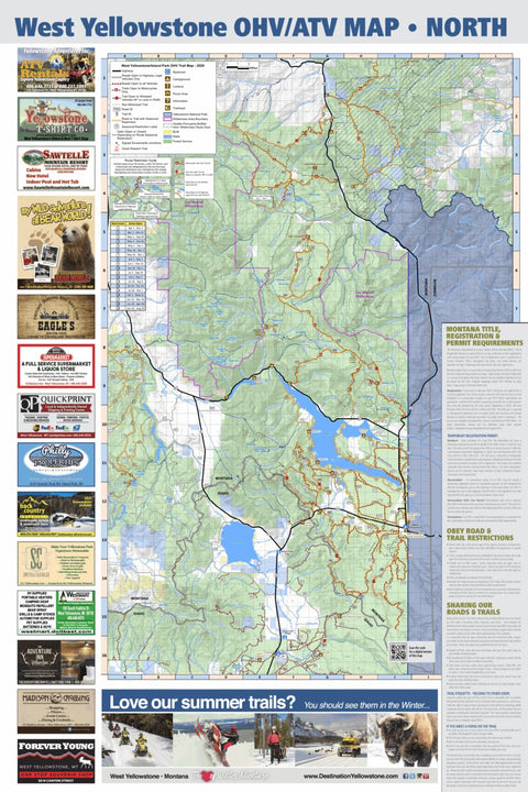
20
Parks & Forests
West Yellowstone Motorized Trail Map - North
MontanaGPS · Publication June 2020
Free
What you get with Avenza Maps

Reliable mapping tools
Record GPS tracks, add placemarks, add photos, measure distances, and much more.

Locate yourself with GPS
Avenza Maps offline GPS app on your mobile device can locate you on any map, without WiFi or network connectivity.

The best maps by the best publishers
Download professionally curated digital maps on the Avenza Map Store from the best-renowned publishers.


