

Digital map for use exclusively in the Avenza Maps app
1
Upper Methow Valley Area Winter Trails
- Skiing
Free
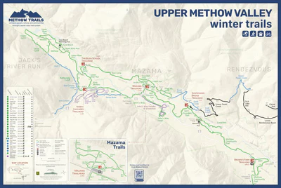
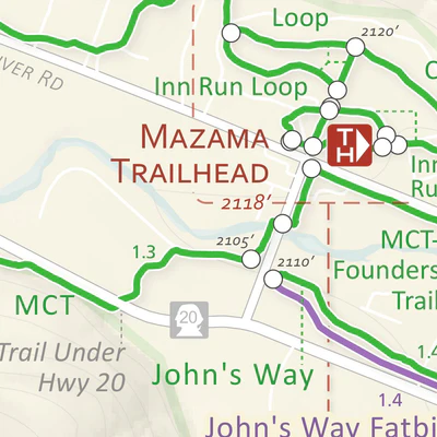
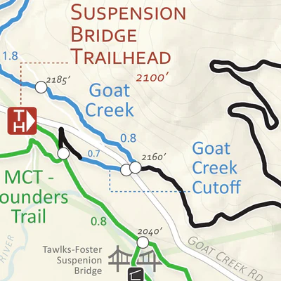
This map focuses on the Upper Valley portion of North America’s largest Cross-County Ski Trail System in the beautiful Methow Valley, Washington and shows trail names, distances, difficulty, allowed activities for each trail, trailheads and parking.
Geographic area:
Category:
Trails
Size:
8.54MB
Publication:
January 2020
Language:
English
This product is available exclusively in digital format, for use only in the Avenza Maps app.
Map bounds
Check nearby maps Customer Reviews
5.0 Based on 1 Reviews
Write a Review Ask a Question - Reviews
- Questions
Filter Reviews:
- hassle
- phone screen
- Avenza
02/14/2022
Anonymous
I recommend this product
Good map for navigating ski trails and roads to trailheads
The map generally worked well, but it was a hassle that it didn’t stay active in the Avenza app. Many time when I turned off the phone screen, then came back to look at it again, I would have to search for and open the map again.
What you get with Avenza Maps

Reliable mapping tools
Record GPS tracks, add placemarks, add photos, measure distances, and much more.

Locate yourself with GPS
Avenza Maps offline GPS app on your mobile device can locate you on any map, without WiFi or network connectivity.

The best maps by the best publishers
Download professionally curated digital maps on the Avenza Map Store from the best-renowned publishers.