Digital map for use exclusively in the Avenza Maps app
1
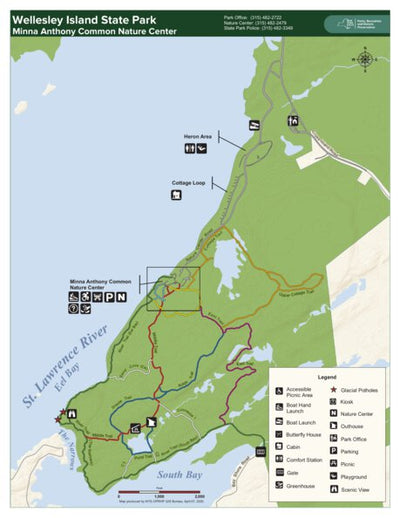
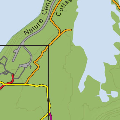
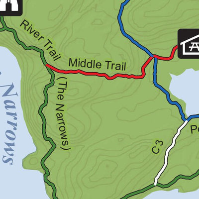
Wellesley Island State Park Trail Map
- Camping
- Fishing
- Hiking
- Skiing
Free
Wellesley Island State Park has the largest camping complex in the Thousand Islands region. Within this rustic paradise, fishing is excellent--particularly for smallmouth bass, pike, and muskie. To accommodate boaters, the park has a full service marina and three boat launches. A sandy beach on t...
Geographic area:
Category:
Parks & Forests
Size:
1.6MB
Publication:
April 2020
Language:
English
This product is available exclusively in digital format, for use only in the Avenza Maps app.
Map bounds
Check nearby maps Customer Reviews
5.0 Based on 1 Reviews
Write a Review Ask a Question - Reviews
- Questions
Filter Reviews:
C
08/11/2021
Customer
Washington, District of Columbia, United States
First Time Avenza User
I really enjoyed using this software. The ability to pair together the "paper" maps that you can get at nearly every National and State Park with a GIS app is brilliant. I enjoyed using Avenza to track our progress on the map of Wellesley Island State Park Trail Map almost as much as I enjoyed the park. I'm kind of geeky that way.
What you get with Avenza Maps

Reliable mapping tools
Record GPS tracks, add placemarks, add photos, measure distances, and much more.

Locate yourself with GPS
Avenza Maps offline GPS app on your mobile device can locate you on any map, without WiFi or network connectivity.

The best maps by the best publishers
Download professionally curated digital maps on the Avenza Map Store from the best-renowned publishers.