Digital map for use exclusively in the Avenza Maps app
Bundle
13
Wetzel County, WV Quad Maps - Bundle
WV Division of Natural Resources
- Fishing
- Hunting
Free
This bundle is comprised of all of the quad maps covering Wetzel County, West Virginia. For questions regarding these maps, please contact DNRGIS@wv.gov.
Quads included in this bundle:
Big Run
Center Point
Folsom
Glover Gap
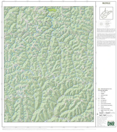
Hundred
Littleton
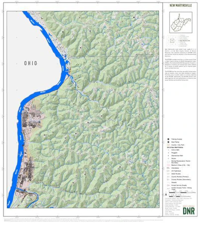
New Martinsville
Paden City
Pine Grove
Por...
Quads included in this bundle:
Big Run
Center Point
Folsom
Glover Gap
Hundred
Littleton
New Martinsville
Paden City
Pine Grove
Por...
Geographic area:
Category:
Topographic
Size:
468.3MB
Publication:
April 2024
Language:
English
This product is available exclusively in digital format, for use only in the Avenza Maps app.
Map bounds
Maps included in this bundle
This bundle contains 13 maps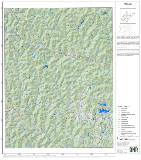
Topographic
Wallace Quad Topo - WVDNR
WV Division of Natural Resources
- Camping
- Fishing
- Hiking
- Hunting
Topographic
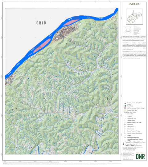
Paden City Quad Topo - WVDNR
WV Division of Natural Resources
- Camping
- Fishing
- Hiking
- Hunting
Topographic
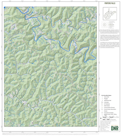
Porters Falls Quad Topo - WVDNR
WV Division of Natural Resources
- Camping
- Fishing
- Hiking
- Hunting
Topographic
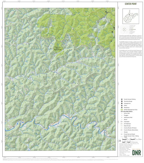
Center Point Quad Topo - WVDNR
WV Division of Natural Resources
- Camping
- Fishing
- Hiking
- Hunting

Topographic
Round Bottom Quad Topo - WVDNR
WV Division of Natural Resources
- Camping
- Fishing
- Hiking
- Hunting
Topographic
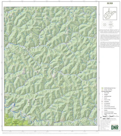
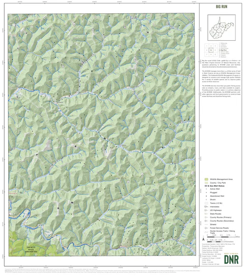
Big Run Quad Topo - WVDNR
WV Division of Natural Resources
- Camping
- Fishing
- Hiking
- Hunting
What you get with Avenza Maps

Reliable mapping tools
Record GPS tracks, add placemarks, add photos, measure distances, and much more.

Locate yourself with GPS
Avenza Maps offline GPS app on your mobile device can locate you on any map, without WiFi or network connectivity.

The best maps by the best publishers
Download professionally curated digital maps on the Avenza Map Store from the best-renowned publishers.