
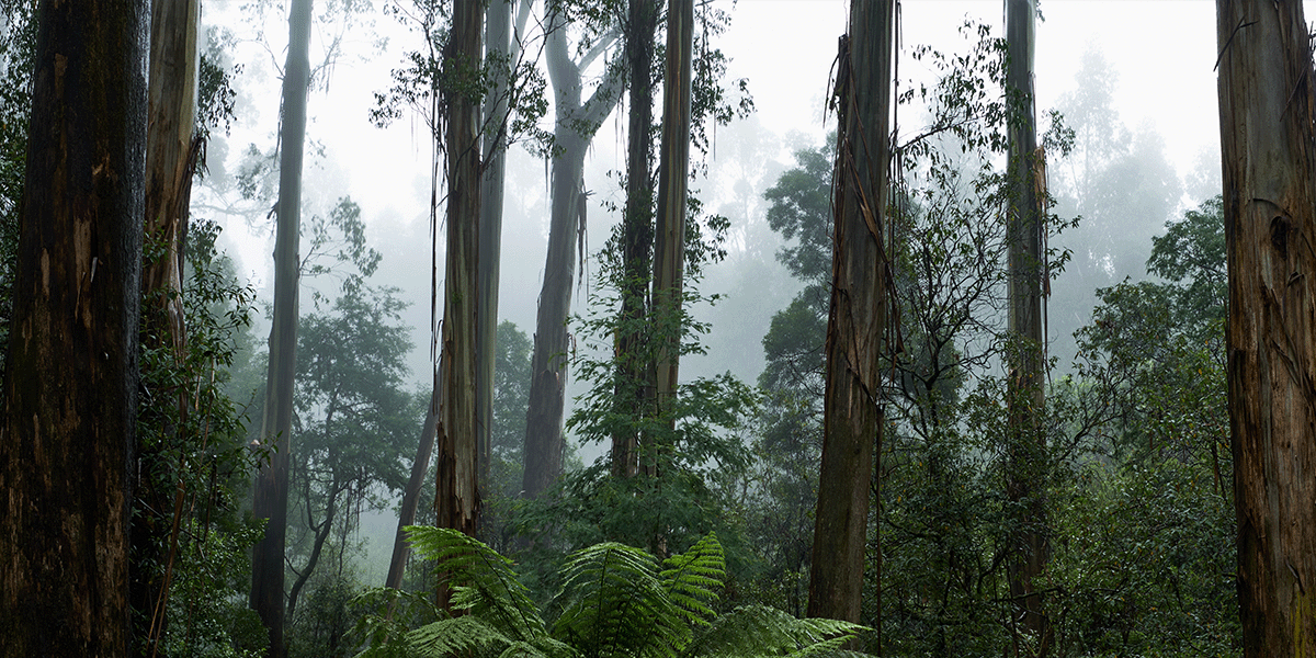
It’s no surprise that a majority of our Avenza Maps Pro users work within the field of conservation and recreation. Globally, parks and protected areas aim to protect wildlife and nature, allowing visitors to learn more about and enjoy the beautiful outdoors! By conserving wildlife, various organizations ensure that future generations can enjoy our natural world and everything surrounding it and continuously work to restore our environment as it is today.
Integrating technology into conservation efforts has made it more accessible now than ever for researchers to monitor threatened species and biodiversity. Many organizations also seek ways to understand and utilize data to make more informed environmental decisions. With Avenza Maps, conservation teams worldwide can record data, track notes, and attach geo-tagged photos directly on their downloadable offline maps. Many organizations have successfully implemented Avenza Maps Pro as a solution! Keep reading as we highlight our top success cases below.
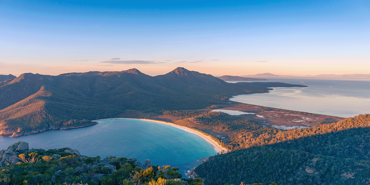
Conserving Tasmania’s Disappearing Species with Avenza Maps
With declining flora and fauna, groups like the Tasmania Land Conservancy have been working hard to ensure a sustainable future for a threatened and unique ecosystem. They continue to focus their efforts on protecting land for biodiversity, and Avenza Maps has helped in the solution. “Being able to record and display detailed information about our reserves on a device we already carry has revolutionized how we collect and use data. It only takes seconds to record detailed information about each site.” - TLC. The Avenza Maps App continues to play a significant role in helping long-term environmental monitoring of these species and more in the future. Read the entire case study here.

Guyra Paraguay Creates ‘ Virtual Walks with Avenza Maps’
Guyra Paraguay is a non-profit organization focused on saving the planet, nature, and species by collecting and analyzing data from around the world and implementing innovative conservation measures. Through the promotion of scientific research, communal engagement, and ecological processes, their mission is to promote and coordinate actions for biodiversity, with a specific focus on bird conservation.
As a result of the pandemic, Guyra Paraguay decided to create ‘ virtual walks’ to connect visitors to nature virtually. Avenza Maps allowed the team to visualize interactive maps, making it possible to produce these virtual walks. Get to know the whole story by checking out our case study.
Maintaining Cultural Tracks and Monitoring Waterways in Tasmania
The Macquarie Harbour Wildcare group works in partnership with Parks and Wildlife Service, Forestry Tasmania, and landowners to help maintain the cultural and heritage tracks and infrastructure within its waterways. Not only do they work to keep track, but they also preserve waterways for fish farm trash. This is where the Avenza Maps App often comes in handy! Volunteers monitor hundreds of kilometres of shoreline for debris, garbage, and fish farm trash using Avenza Maps to mark locations and record points for retrieval.
Read the full case study here.
In addition to these three success cases, multiple other conservation groups benefit from using Avenza Maps! A few of these organizations include The Nature Conservancy, RTI International, and British Antarctic Survey.
Download the App
Now that you’ve seen how conservation groups around the world have benefited from using Avenza Maps, learn more by downloading the app for your team!
 Scan this QR code to download the Avenza Maps app.