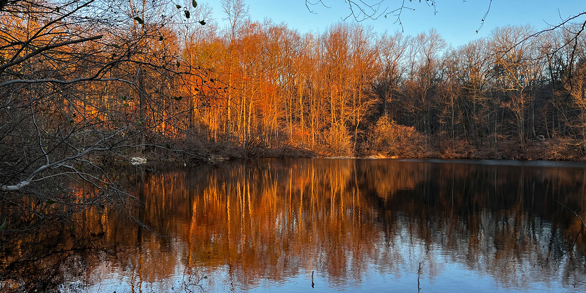
With summer around the corner, there's no better way to spend a day outside than hiking. One of the greatest pleasures is soaking in nature while walking through a trail. As people who enjoy the outdoors, we often count on technology to ensure our experiences outdoors are uninterrupted, fun and safe. With many factors to consider, finding an app that meets all mapping needs is often challenging.
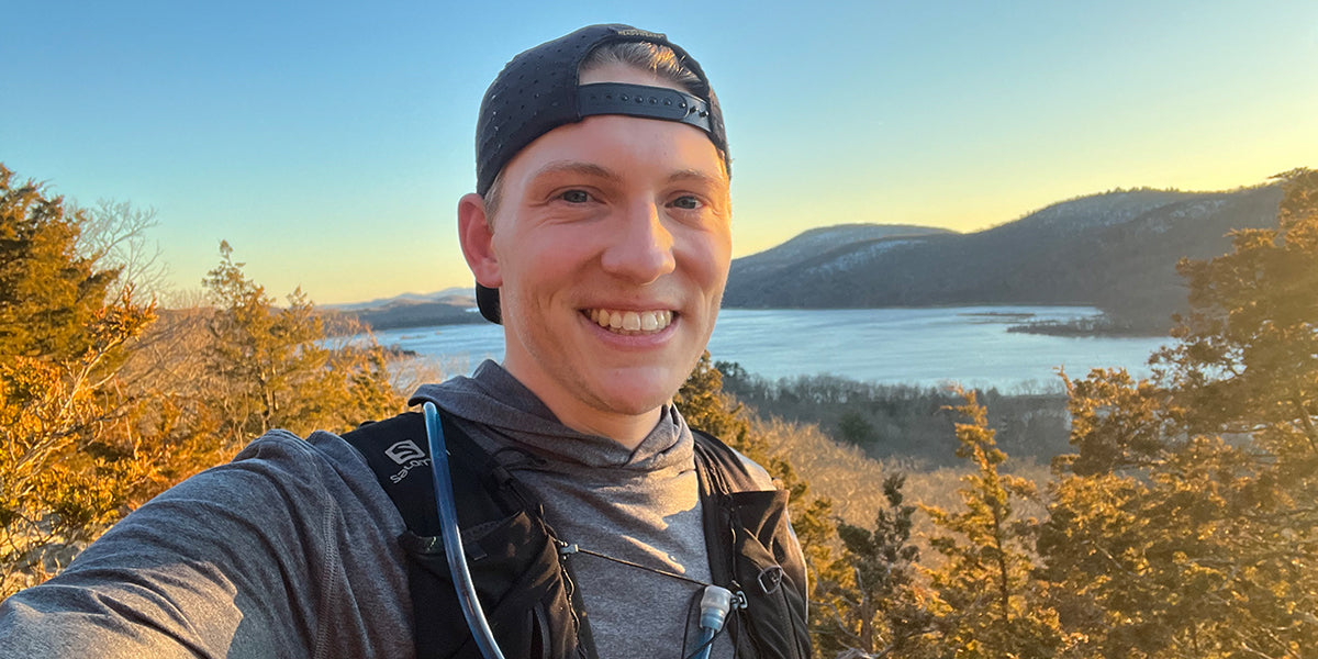
We had the pleasure of interacting with a passionate hiker from New Jersey who not only likes nature but also relishes the feeling of satisfaction and growth that comes from taking on new difficulties with each hike. Meet Brian Shultis, an outdoor enthusiast and Avenza Maps App user who told us how the app helps him on his hiking expeditions. Brian always seeks new and intriguing ways to get outside and closer to home. He loves climbing mountains and tends to gravitate towards outdoor-related goals. He says, “Among all the great feelings, being in nature invokes happiness and a sense of accomplishment within me.” Recently in the fall, Brian started exploring the Avenza Maps App, and we were happy to hear about his experience with the app.
Discovering and Using Avenza Maps
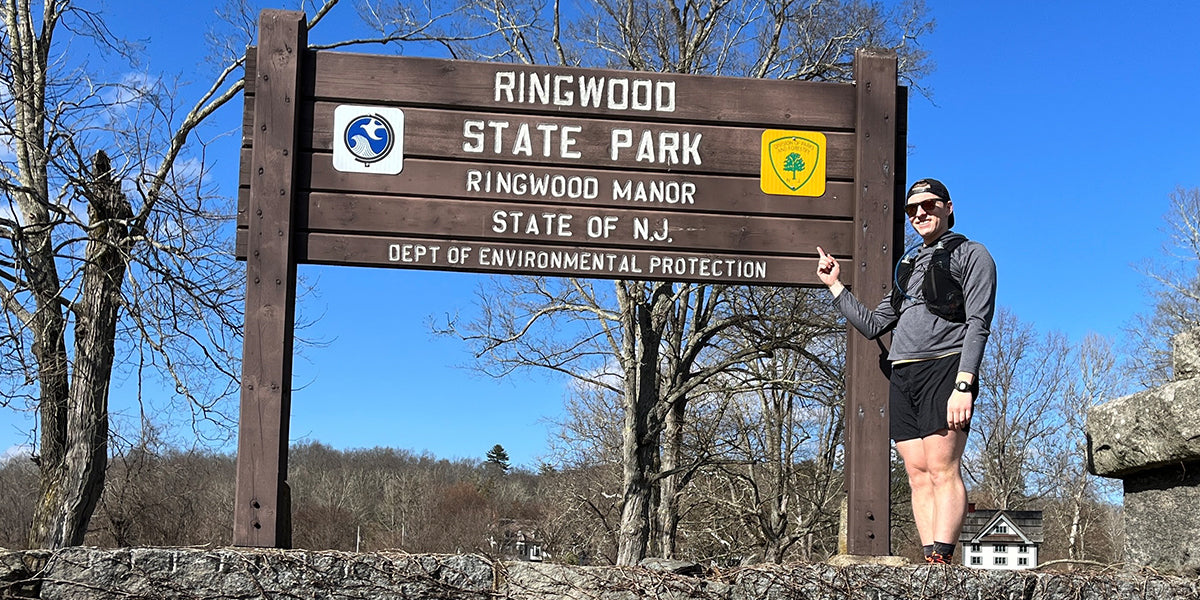
Brian stated that using the tracking tool while overlaying maps, such as the NY-NJ Trail Conference map sets, piqued his interest in further exploring the Avenza Maps App. "I figured if I could see my progress on which trails I've hiked in a specific area, then it'd be fun to see if I could hike all the trails on a map set," he explained. Brian concentrated on NY-NJ TC Map Set 150, which covers Ramapo Mountain State Forest and Ringwood State Park. He tracked his routes, distance, and elevation gain with the Avenza Maps app's tracking feature. He connected routes in unconventional ways, frequently needing to utilize back trails and trek up mountains numerous times using different trails, sometimes on the same day.
Most days, he was out on trails with an estimate of the area he wanted to explore. Trusting the real-time tracking feature on the Avenza Maps App, Brian would spontaneously decide the direction or tail he would explore. During these expeditions, Brian curated some fun and intricate GPS tracks. He saved each route as a map layer, and using the layer managing feature on Avenza Maps App, he could track his progress for each hike and overall progress throughout this effort. Additionally, he loved colour-coding his routes as it made it easy to see the trails he completed and the ones he had yet to explore. It also made it convenient for him as some trails overlapped on different map sets, and he could link his different layers (routes) to multiple maps.
Brian found himself on trails he would have never usually explored throughout these adventures. He explored NJ’s extensive hiking trail network in a way he hadn’t during his previous hikes. Brian said, "The Avenza Map layer management feature, in tandem with NY-NJ TC’s accurate map sets, made this an enjoyable experience and has me excited to continue working on other map sets in the future!”
If Brian’s adventure inspires you to discover new paths and use the Avenza Map App's mapping layer feature, read How to Manage Map Layers in Avenza Maps to improve your experience.
Download The Avenza Maps App
We are sure that, like Brian, there have been times when you were motivated to take on a new and exciting challenge. Explore our app on your next adventure and share your Avenza Maps experiences with us.
Download Avenza Maps, the #1 app for hiking, biking and all trails and enjoy an organized and hassle-free adventure.
 Scan this QR code to download the Avenza Maps app.