Publishers Blog

Exploring the Andes with Andeshandbook

Exploring the Andes with Andeshandbook

The Andes mountain range is the longest continental mountain range in the world. Learn all about the famous hiking region and mapping the Andes with Andeshandbook!

Mapping Alaska with BarnwellGeospatial

Mapping Alaska with BarnwellGeospatial

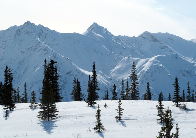
BarnwellGeospatial, owned and created by Charles Barnwell seeks to make the highest quality, and up-to-date topographic maps available, with a focus on America’s 49th state, Alaska!

Walking the Italian Alps with Fraternali Editore

Walking the Italian Alps with Fraternali Editore

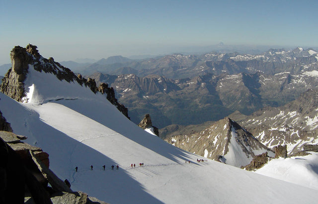
This month’s Publisher Feature is all about Fraternali Editore from Italy. Walking over 50,000km to get the most accurate data for their maps, they put their heart, soul, and walking shoes into what they do! To learn more about Fraternali Editore, we spoke to Mario Fraternali, one of the owners of the company.

Australian Landscape with Signal Prospecting logo

Gold Prospecting Maps Strike Gold

Everyone loves a treasure hunt, and who doesn’t love gold? The newest gold maps in the Avenza Map Store are from Signal Prospecting, owned and operated by Glenn Holbrook. While Glenn loves snow sports, surfing, and skating, he admits he’s kind of obsessed with finding gold.

Quinte conservation entrance

New Ways to Explore Quinte Conservation Authority

Looking for some of the best trails in Southeastern Ontario? Look no further than Quinte Conservation Authority (QCA). One of the newest publishers in the Avenza Map Store, Quinte Conservation Authority owns over 30,000 acres of land, which include managed forests, nature reserves, and 11 different conservation areas with trails to explore.